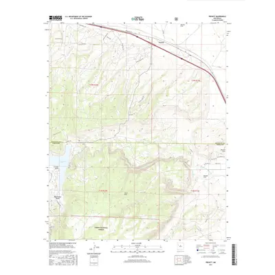
2017 Map of Prewitt
USGS Topo · Published 2017About this map
The settlement of Prewitt serves as a focal point along the transportation corridor in this high-desert landscape of New Mexico. The geography is defined by the dramatic transition between the open Las Tusas Valley and the elevated terrain of Salitre Mesa, part of the larger Cibola National Forest system. Hydrology plays a critical role here, with Bluewater Lake and the winding course of Bluewater Cr carving through the landscape alongside drainages like Blackjack Arroyo and Mitchell Draw.
Find a feature on this map
36 named features on this map. Tap any name to fly to it.
Don’t see what you’re looking for? This feature index may not catch every label — zoom into the map to look around manually.
Map Details
Editions of this 2017 Prewitt Map
This is the sole edition of this map. No revisions or reprints were ever made.
Other maps of this area

1883 · Mt. Taylor
USGS Topo · 1:250,000

1886 · Wingate
USGS Topo · 1:250,000

1886 · Mt. Taylor
USGS Topo · 1:250,000

1892 · Wingate
USGS Topo · 1:250,000

1892 · Mt. Taylor
USGS Topo · 1:250,000

1899 · Mt. Taylor
USGS Topo · 1:250,000

1951 · Mt Sedgwick
USGS Topo · 1:24,000

1952 · Post Office Flat
USGS Topo · 1:24,000

1954 · Gallup
USGS Topo · 1:250,000

1957 · Bluewater
USGS Topo · 1:24,000
Featured Places
- Eastern Navajo Agency, NM
- Baca, Eastern Navajo Agency
- McKinley County, NM
- Cibola County, NM
- United States