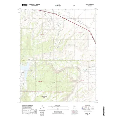
2020 Map of Prewitt
USGS Topo · Published 2020About this map
Bluewater Lake and the drainage of Bluewater Cr define the southwestern geography of this High Desert landscape. The map shows the intersection of modern infrastructure and traditional land boundaries as the Frontage Rd corridor carries traffic near the settlement of Prewitt in the northeast. To the south, the terrain rises into Salitre Mesa and the protected lands of the Cibola National Forest. This 2020 survey documents a complex network of ranch and service roads, such as Old Windmill Trl and Natural Bridge Rd, that navigate the arroyos and draws. The transition from the flatlands of Mitchell Draw to the more varied elevations of Las Tusas Valley illustrates the region’s hydrological pattern, where seasonal runoff flows through Blackjack Arroyo and Reynolds Draw.
Find a feature on this map
38 named features on this map. Tap any name to fly to it.
Don’t see what you’re looking for? This feature index may not catch every label — zoom into the map to look around manually.
Map Details
Editions of this 2020 Prewitt Map
This is the sole edition of this map. No revisions or reprints were ever made.
Other maps of this area

1883 · Mt. Taylor
USGS Topo · 1:250,000

1886 · Wingate
USGS Topo · 1:250,000

1886 · Mt. Taylor
USGS Topo · 1:250,000

1892 · Wingate
USGS Topo · 1:250,000

1892 · Mt. Taylor
USGS Topo · 1:250,000

1899 · Mt. Taylor
USGS Topo · 1:250,000

1951 · Mt Sedgwick
USGS Topo · 1:24,000

1952 · Post Office Flat
USGS Topo · 1:24,000

1954 · Gallup
USGS Topo · 1:250,000

1957 · Bluewater
USGS Topo · 1:24,000
Featured Places
- Eastern Navajo Agency, NM
- Baca, Eastern Navajo Agency
- McKinley County, NM
- Cibola County, NM
- United States