2020 Map of Pribilof Islands C-3 NW
USGS Topo · Published 2020About this map
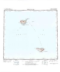
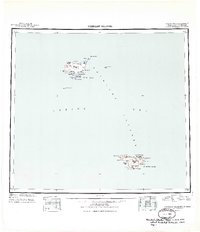
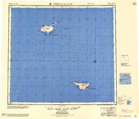
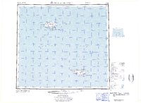
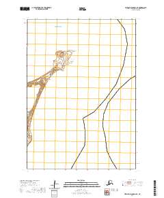
St. Paul island terrain meets the vast expanse of the Bering Sea in this focused survey of the Pribilof Islands region. The map illustrates a section of the Aleutians West area where the marine environment is the dominant feature, marked by the intersection of open water and the northernmost tip of terrestrial coordinates. Land divisions are clearly defined through the Public Land Survey System, specifically noting t35s r129w, which provides a precise grid for the island's geography. While terrestrial labels are minimal, the map serves as a vital record of the coastline and maritime boundaries in this subarctic territory, offering a clear view of the relationship between the remote Alaskan landmass and the surrounding sea.
Find a feature on this map
3 named features on this map. Tap any name to fly to it.
Don’t see what you’re looking for? This feature index may not catch every label — zoom into the map to look around manually.
Map Details
Editions of this 2020 Pribilof Islands C-3 NW Map
This is the sole edition of this map. No revisions or reprints were ever made.