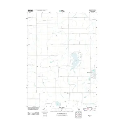
2011 Map of Price
USGS Topo · Published 2011About this map
The Little Maple River meanders southward through this landscape, feeding into the expansive Lake Ovid which serves as a central geographic anchor for the region. To the west, the crossroads settlement of Price marks a quiet junction of rural roads, while the more developed residential patterns of Westchester Heights appear near the eastern shoreline of Lake Victoria. This area of Michigan is characterized by its organized grid of agricultural roads, such as S Chandler Rd and S Saint Clair Rd, which segment the terrain into large parcels of farmland and woods.
Find a feature on this map
56 named features on this map. Tap any name to fly to it.
Don’t see what you’re looking for? This feature index may not catch every label — zoom into the map to look around manually.
Map Details
Editions of this 2011 Price Map
This is the sole edition of this map. No revisions or reprints were ever made.
Other maps of this area

1918 · Elsie
USGS Topo · 1:62,500

1918 · Perrinton
USGS Topo · 1:62,500

1927 · De Witt
USGS Topo · 1:62,500

1928 · Laingsburg
USGS Topo · 1:62,500

1943 · Perrinton
USGS Topo · 1:62,500

1943 · Elsie
USGS Topo · 1:62,500

1944 · Laingsburg
USGS Topo · 1:62,500

1954 · Midland
USGS Topo · 1:250,000

1958 · Midland
USGS Topo · 1:250,000

1958 · Grand Rapids
USGS Topo · 1:250,000