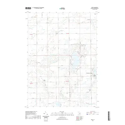
2019 Map of Price
USGS Topo · Published 2019About this map
Sleepy Hollow State Park dominates the central landscape of this Clinton County survey, centered around the expansive Lake Ovid. This recreation area is surrounded by a network of drainage systems and small water bodies that define the local geography, including Montague Lake, Blood Lake, and Aldrich Lake. The settlement patterns reflect a rural agricultural character, with the community of Price situated in the western portion of the quadrangle and Westchester Heights to the east near Lake Victoria. Local history is preserved through several family and community burial grounds scattered across the townships, such as South Ovid Cem, Stilson Cem, and Reed Cem. The map traces a complex hydrography where the Little Maple River and Looking Glass River move through the low-lying terrain, supported by numerous named channels like Cutler and Walker Drain and Shepard Drain.
Find a feature on this map
68 named features on this map. Tap any name to fly to it.
Don’t see what you’re looking for? This feature index may not catch every label — zoom into the map to look around manually.
Map Details
Editions of this 2019 Price Map
This is the sole edition of this map. No revisions or reprints were ever made.
Other maps of this area

1918 · Elsie
USGS Topo · 1:62,500

1918 · Perrinton
USGS Topo · 1:62,500

1927 · De Witt
USGS Topo · 1:62,500

1928 · Laingsburg
USGS Topo · 1:62,500

1943 · Perrinton
USGS Topo · 1:62,500

1943 · Elsie
USGS Topo · 1:62,500

1944 · Laingsburg
USGS Topo · 1:62,500

1954 · Midland
USGS Topo · 1:250,000

1958 · Midland
USGS Topo · 1:250,000

1958 · Grand Rapids
USGS Topo · 1:250,000