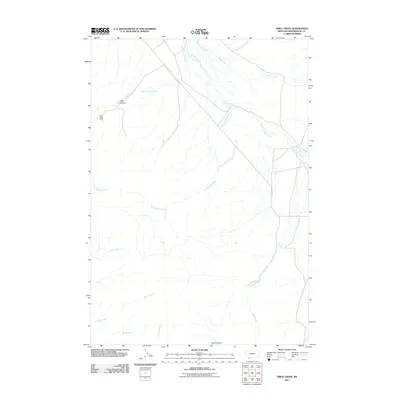
2011 Map of Price Creek
USGS Topo · Published 2011About this map
Silver Queen Mine stands as a notable industrial marker in this landscape of southwestern Montana, situated just below the slopes of Jake Canyon. The drainage of Blacktail Deer Creek serves as a primary geographic artery, receiving numerous tributaries including Jake Canyon Creek, Brock Creek, and Cottonwood Creek. The area is defined by its canyon systems, with Price Canyon and the headwaters of Price Creek dominating the southern portion of the survey.
Find a feature on this map
14 named features on this map. Tap any name to fly to it.
Don’t see what you’re looking for? This feature index may not catch every label — zoom into the map to look around manually.
Map Details
Editions of this 2011 Price Creek Map
This is the sole edition of this map. No revisions or reprints were ever made.
Other maps of this area

1893 · Dillon
USGS Topo · 1:250,000

1955 · Dubois
USGS Topo · 1:250,000

1955 · Dillon
USGS Topo · 1:250,000

1957 · Dillon
USGS Topo · 1:250,000

1958 · Dubois
USGS Topo · 1:250,000

1958 · Dillon
USGS Topo · 1:250,000

1961 · Red Canyon
USGS Topo · 1:24,000

1961 · Ashbough Canyon
USGS Topo · 1:24,000

1961 · Elk Gulch
USGS Topo · 1:24,000

1962 · Dillon
USGS Topo · 1:250,000