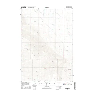
2014 Map of Price Creek
USGS Topo · Published 2014About this map
The Blacktail Mountains dominate this high-elevation portion of Beaverhead County, providing a glimpse of the drainage patterns and rugged geography that define this part of Montana. Waterways such as Blacktail Deer Cr and Price Cr carve through the terrain, fed by smaller tributaries like Crazy Springs Cr and Cottonwood Cr. The map highlights the significant elevation changes found within Jake Canyon and the sharply defined Red Canyon to the south.
Find a feature on this map
19 named features on this map. Tap any name to fly to it.
Don’t see what you’re looking for? This feature index may not catch every label — zoom into the map to look around manually.
Map Details
Editions of this 2014 Price Creek Map
This is the sole edition of this map. No revisions or reprints were ever made.
Other maps of this area

1893 · Dillon
USGS Topo · 1:250,000

1955 · Dubois
USGS Topo · 1:250,000

1955 · Dillon
USGS Topo · 1:250,000

1957 · Dillon
USGS Topo · 1:250,000

1958 · Dubois
USGS Topo · 1:250,000

1958 · Dillon
USGS Topo · 1:250,000

1961 · Red Canyon
USGS Topo · 1:24,000

1961 · Ashbough Canyon
USGS Topo · 1:24,000

1961 · Elk Gulch
USGS Topo · 1:24,000

1962 · Dillon
USGS Topo · 1:250,000