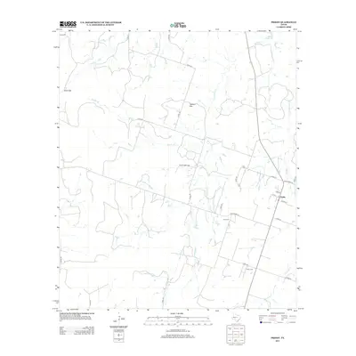
2012 Map of Priddy
USGS Topo · Published 2012About this map
The crossroads community of Priddy serves as the focal point of this Central Texas landscape, situated along Ranch Road 218. The town layout is clearly defined by local streets such as Cobb St, 1st St, and Schlee St, providing a detailed view of the settlement's footprint in the early 21st century. The surrounding terrain is marked by distinct geological landmarks, including the prominent Taterhill Mtn and the pass at Cedar Gap.
Find a feature on this map
33 named features on this map. Tap any name to fly to it.
Don’t see what you’re looking for? This feature index may not catch every label — zoom into the map to look around manually.
Map Details
Editions of this 2012 Priddy Map
This is the sole edition of this map. No revisions or reprints were ever made.
Other maps of this area

1888 · Hamilton
USGS Topo · 1:125,000

1889 · Brownwood
USGS Topo · 1:125,000

1894 · Hamilton
USGS Topo · 1:125,000

1894 · Brownwood
USGS Topo · 1:125,000

1925 · Brownwood 4-c
USGS Topo · 1:48,000

1931 · Mullin
USGS Topo · 1:62,500

1950 · Mullin
USGS Topo · 1:62,500

1954 · Brownwood
USGS Topo · 1:250,000

1956 · Gustine
USGS Topo · 1:62,500

1956 · Gustine
USGS Topo · 1:24,000