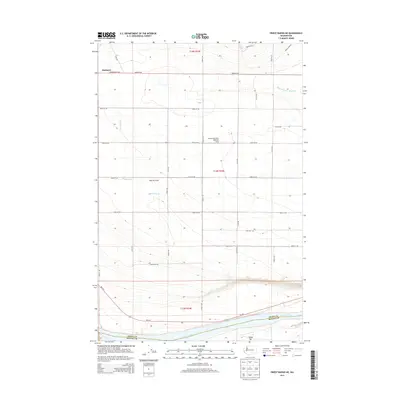
2014 Map of Priest Rapids NE
USGS Topo · Published 2014About this map
Mattawa sits at the northwestern edge of this 2014 survey, anchoring an area dominated by the agricultural development of the Wahluke Slope. The landscape is defined by a rigorous grid of section roads and the complex irrigation infrastructure necessary for farming this arid region, including the Mattawa Drain and the Saddle Mountain Wasteway. To the south, the Columbia River carves a deep boundary between Grant and Benton counties, featuring the distinctive China Bar along its northern bank. This map illustrates the intersection of modern transit and land use, from the Wa-243 corridor to local identifiers like the Christensen Bros Wahluke Strip, reflecting the 21st-century character of central Washington's Columbia Basin.
Find a feature on this map
24 named features on this map. Tap any name to fly to it.
Don’t see what you’re looking for? This feature index may not catch every label — zoom into the map to look around manually.
Map Details
Editions of this 2014 Priest Rapids NE Map
This is the sole edition of this map. No revisions or reprints were ever made.
Other maps of this area

1911 · Red Rock
USGS Topo · 1:62,500

1912 · Beverly
USGS Topo · 1:62,500

1916 · Coyote Rapids
USGS Topo · 1:62,500

1917 · Priest Rapids
USGS Topo · 1:62,500

1948 · Cairn Hope Peak
USGS Topo · 1:24,000

1948 · Emerson Nipple
USGS Topo · 1:24,000

1948 · Priest Rapids
USGS Topo · 1:24,000

1950 · Smyrna
USGS Topo · 1:62,500

1951 · Priest Rapids
USGS Topo · 1:62,500

1951 · Smyrna
USGS Topo · 1:62,500