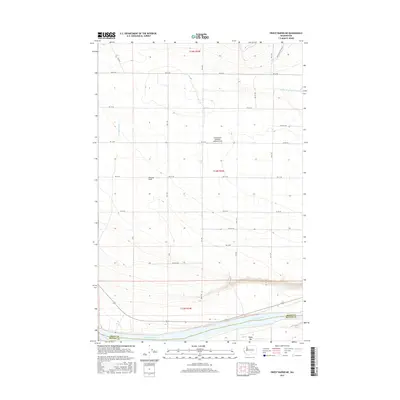
2017 Map of Priest Rapids NE
USGS Topo · Published 2017About this map
The Columbia River defines the southern boundary of this region, where the Grant and Benton County line follows the mid-channel current. North of the river, the landscape rises along the Wahluke Slope, a geographic feature shaped by agricultural development and irrigation drainage systems like the Mattawa Drain and Saddle Mountain Wasteway. This 2017 study illustrates the intersection of industrial-scale farming and the natural topography of the Columbia Basin.
Find a feature on this map
24 named features on this map. Tap any name to fly to it.
Don’t see what you’re looking for? This feature index may not catch every label — zoom into the map to look around manually.
Map Details
Editions of this 2017 Priest Rapids NE Map
This is the sole edition of this map. No revisions or reprints were ever made.
Other maps of this area

1911 · Red Rock
USGS Topo · 1:62,500

1912 · Beverly
USGS Topo · 1:62,500

1916 · Coyote Rapids
USGS Topo · 1:62,500

1917 · Priest Rapids
USGS Topo · 1:62,500

1948 · Cairn Hope Peak
USGS Topo · 1:24,000

1948 · Emerson Nipple
USGS Topo · 1:24,000

1948 · Priest Rapids
USGS Topo · 1:24,000

1950 · Smyrna
USGS Topo · 1:62,500

1951 · Priest Rapids
USGS Topo · 1:62,500

1951 · Smyrna
USGS Topo · 1:62,500