
1944 Map of Priest Valley
USGS Topo · Published 1944About this map
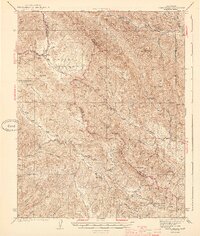
Indian Valley and the Peachtree Valley form a complex landscape of drainage basins and high ridgelines across the central Coast Ranges in the early 1940s. The map captures a moment when rural life centered on local institutions like the Priest Valley Sch and Wolf Sch. Industrial activity is represented by the Stone Canyon Mine tucked into its namesake canyon, while natural landmarks such as The Pinnacles and Coalinga Mineral Spr indicate the varied geology of the region.
Find a feature on this map
44 named features on this map. Tap any name to fly to it.
Don’t see what you’re looking for? This feature index may not catch every label — zoom into the map to look around manually.
Map Details
Editions of this 1944 Priest Valley Map
2 editions found
Other maps of this area

1912 · Coalinga
USGS Topo · 1:125,000

1914 · Cholame
USGS Topo · 1:125,000

1915 · Priest Valley
USGS Topo · 1:125,000

1915 · Cholame
USGS Topo · 1:125,000

1917 · Cholame
USGS Topo · 1:125,000

1919 · San Miguel
USGS Topo · 1:62,500

1919 · Bradley
USGS Topo · 1:62,500

1941 · Priest Valley
USGS Topo · 1:62,500

1941 · San Ardo
USGS Topo · 1:62,500

1941 · Bradley
USGS Topo · 1:62,500