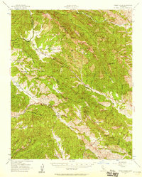
1956 Map of Priest Valley
USGS Topo · Published 1958About this map
Priest Valley anchors this mid-century survey of the Diablos Range interior, where the high-altitude settlement pattern reflects a reliance on protected valleys and seasonal water sources. The landscape is defined by the convergence of several major drainages, including Peachtree Valley and Indian Valley, which cut through the steep elevations of Mustang Ridge. Social and civic life in this remote cattle-ranching and farming corridor is evidenced by isolated institutional sites such as the San Lorenzo School and Slack Canyon School.
Find a feature on this map
100 named features on this map. Tap any name to fly to it.
Don’t see what you’re looking for? This feature index may not catch every label — zoom into the map to look around manually.
Map Details
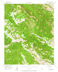
Editions of this 1956 Priest Valley Map
2 editions found
Other maps of this area

1912 · Coalinga
USGS Topo · 1:125,000

1914 · Cholame
USGS Topo · 1:125,000

1915 · Priest Valley
USGS Topo · 1:125,000

1915 · Cholame
USGS Topo · 1:125,000

1917 · Cholame
USGS Topo · 1:125,000

1919 · San Miguel
USGS Topo · 1:62,500

1919 · Bradley
USGS Topo · 1:62,500

1941 · Priest Valley
USGS Topo · 1:62,500

1941 · San Ardo
USGS Topo · 1:62,500

1941 · Bradley
USGS Topo · 1:62,500