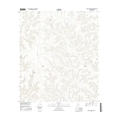
2016 Map of Prince Albert Draw
USGS Topo · Published 2016About this map
Prince Albert Draw and its complex system of tributary drainages dominate this portion of Crockett County, where the high Edwards Plateau is deeply dissected by wind and water. The map documents a landscape defined by dramatic relief and isolated ranching infrastructure, where routes like Scott Canyon Rd and Hoover Divide Rd follow the contours of the high ground between canyons. Notable topographic features include Big Canyon in the north and the expansive Scott Canyon, which provides a corridor for local travel. This 2016 survey illustrates how modern county roads like Co Rd 406 and Co Rd 410 navigate the breaks of Brown Canyon and Horse Canyon, showing the persistent influence of the canyon-and-divide terrain on the local transportation network.
Find a feature on this map
11 named features on this map. Tap any name to fly to it.
Don’t see what you’re looking for? This feature index may not catch every label — zoom into the map to look around manually.
Map Details
Editions of this 2016 Prince Albert Draw Map
This is the sole edition of this map. No revisions or reprints were ever made.
Other maps of this area

1929 · Sheffield
USGS Topo · 1:125,000

1954 · Sonora
USGS Topo · 1:250,000

1958 · Sonora
USGS Topo · 1:250,000

1967 · Burnt Canyon
USGS Topo · 1:24,000

1967 · Dead Man Canyon
USGS Topo · 1:24,000

1967 · Mitchell Canyon
USGS Topo · 1:24,000

1970 · Antone Canyon
USGS Topo · 1:24,000

1970 · Howards Well
USGS Topo · 1:24,000

1970 · Howards Well SW
USGS Topo · 1:24,000
1970 · Prince Albert Draw
USGS Topo · 1:24,000