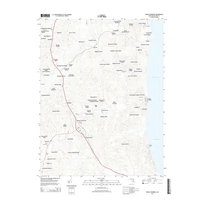
2014 Map of Prince Frederick
USGS Topo · Published 2014About this map
Prince Frederick serves as the focal point of this coastal Maryland landscape, situated along the MD-2 corridor as it transitions toward the Chesapeake Bay. The area is densely patterned with residential developments and named estates, reflecting the modern suburban growth of Calvert County while maintaining deep ties to its historical roots. These roots are evidenced by a high concentration of spiritual and commemorative sites, including Trinity Cem, Saint Pauls Cem, and Central Methodist Cem. To the north, the settlement of Huntingtown and its neighboring Huntingtown Square sit amidst a complex network of small residential enclaves like Beverly Knolls and Sherbert. The eastern edge is defined by the dramatic topography of the Calvert Cliffs, where the land meets the bay. The map provides a detailed view of local infrastructure, from the winding path of Parkers Creek to the various state and local roads like MD-508 and Armory RD that connect these growing communities.
Find a feature on this map
95 named features on this map. Tap any name to fly to it.
Don’t see what you’re looking for? This feature index may not catch every label — zoom into the map to look around manually.
Map Details
Editions of this 2014 Prince Frederick Map
This is the sole edition of this map. No revisions or reprints were ever made.
Other maps of this area

1892 · Leonardtown
USGS Topo · 1:62,500

1892 · Drum Point
USGS Topo · 1:62,500

1892 · Prince Frederick
USGS Topo · 1:62,500

1893 · Sharps Island
USGS Topo · 1:62,500

1895 · Prince Frederick
USGS Topo · 1:62,500

1895 · Leonardtown
USGS Topo · 1:62,500

1895 · Nomini
USGS Topo · 1:125,000

1898 · Choptank
USGS Topo · 1:125,000

1898 · Nomini
USGS Topo · 1:125,000

1898 · St. Marys
USGS Topo · 1:125,000