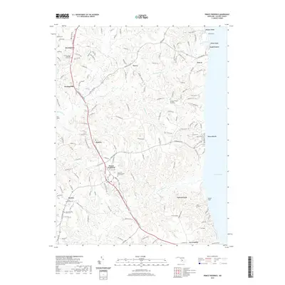
2019 Map of Prince Frederick
USGS Topo · Published 2019About this map
Prince Frederick serves as the central hub for this portion of Calvert County, situated at the junction of Dares Beach Rd and the primary corridor of Solomons Island Rd. This coastal landscape is defined by its series of eastern drainages, such as Parkers Creek and Plum Point Creek, which cut through the terrain toward the Chesapeake Bay. Along the shoreline, the notable Calvert Cliffs form a distinct natural boundary near Dares Beach.
Find a feature on this map
53 named features on this map. Tap any name to fly to it.
Don’t see what you’re looking for? This feature index may not catch every label — zoom into the map to look around manually.
Map Details
Editions of this 2019 Prince Frederick Map
This is the sole edition of this map. No revisions or reprints were ever made.
Other maps of this area

1892 · Leonardtown
USGS Topo · 1:62,500

1892 · Drum Point
USGS Topo · 1:62,500

1892 · Prince Frederick
USGS Topo · 1:62,500

1893 · Sharps Island
USGS Topo · 1:62,500

1895 · Prince Frederick
USGS Topo · 1:62,500

1895 · Leonardtown
USGS Topo · 1:62,500

1895 · Nomini
USGS Topo · 1:125,000

1898 · Choptank
USGS Topo · 1:125,000

1898 · Nomini
USGS Topo · 1:125,000

1898 · St. Marys
USGS Topo · 1:125,000