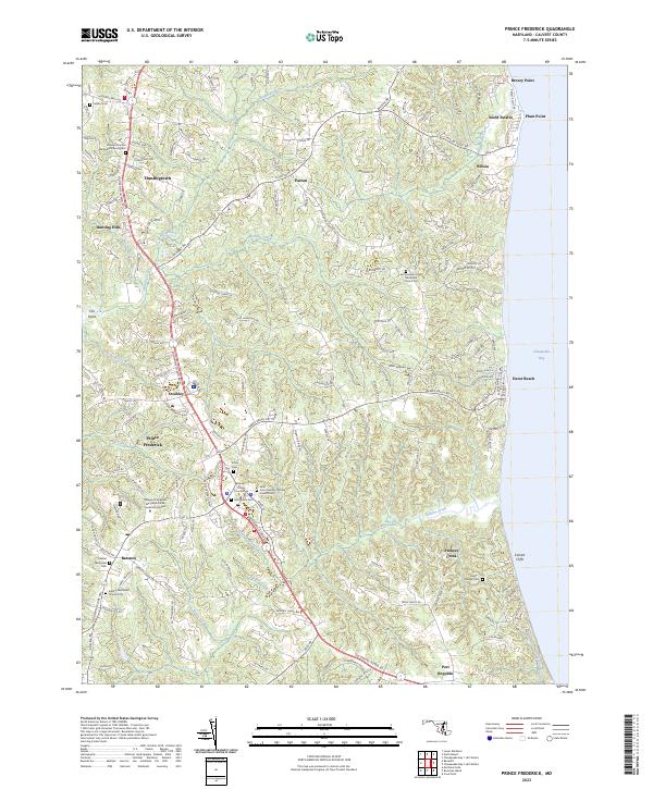
2023 Map of Prince Frederick
USGS Topo · Published 2023About this map
Prince Frederick serves as the central hub of this landscape, situated along the spine of the peninsula between the Patuxent River and the Chesapeake Bay. The 2023 survey illustrates a transition from the civic center near the Calvert County Courthouse to coastal communities like Dares Beach and Plum Point. The area is notably dense with historical burial sites and parish centers, including Saint Paul's Cem and the Saint John Vianney Catholic Church Cem, reflecting the deep-rooted family genealogies of Calvert County. Along the eastern shoreline, the elevation drops sharply at the Calvert Cliffs, where drainage systems like Parkers Creek meet the bay. The map also highlights the educational expansion at the College of Southern Maryland Prince Frederick Campus, showing how modern infrastructure integrates with older crossroads settlements like Huntingtown and Stoakley.
Find a feature on this map
163 named features on this map. Tap any name to fly to it.
Don’t see what you’re looking for? This feature index may not catch every label — zoom into the map to look around manually.
Map Details
Editions of this 2023 Prince Frederick Map
This is the sole edition of this map. No revisions or reprints were ever made.
Other maps of this area

1892 · Leonardtown
USGS Topo · 1:62,500

1892 · Drum Point
USGS Topo · 1:62,500

1892 · Prince Frederick
USGS Topo · 1:62,500

1893 · Sharps Island
USGS Topo · 1:62,500

1895 · Prince Frederick
USGS Topo · 1:62,500

1895 · Leonardtown
USGS Topo · 1:62,500

1895 · Nomini
USGS Topo · 1:125,000

1898 · Choptank
USGS Topo · 1:125,000

1898 · Nomini
USGS Topo · 1:125,000

1898 · St. Marys
USGS Topo · 1:125,000