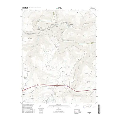
2016 Map of Prince
USGS Topo · Published 2016About this map
The New River carves a dramatic path through the center of this terrain, encircling the distinct landform of Stretcher Neck where the Stretcher Neck Tunnel bypasses the river's long bend. This landscape is defined by its industrial and recreational history, anchored by the New River Gorge National River and settlements like Prince, Quinnimont, and Royal that grew along the rail-and-river corridor. To the south, the plateau supports the communities of Grandview and Crow, alongside the Raleigh County Memorial Airport. Civil engineering marks the region, from the Thomas Buford Pugh Memorial Bridge crossing the river to the P.G. McDonald Memorial Bridge on the southern edge. The map captures a mix of rugged natural features like Turkey Spur Rock and Batoff Mtn with human elements like the Plumley Cem, offering a detailed view of Fayette and Raleigh counties.
Find a feature on this map
106 named features on this map. Tap any name to fly to it.
Don’t see what you’re looking for? This feature index may not catch every label — zoom into the map to look around manually.
Map Details
Editions of this 2016 Prince Map
This is the sole edition of this map. No revisions or reprints were ever made.
Other maps of this area

1887 · Hinton
USGS Topo · 1:125,000

1891 · Raleigh
USGS Topo · 1:125,000

1892 · Hinton
USGS Topo · 1:125,000

1897 · Raleigh
USGS Topo · 1:125,000

1902 · Raleigh
USGS Topo · 1:125,000

1911 · Flattop
USGS Topo · 1:48,000

1911 · Beckley
USGS Topo · 1:48,000

1912 · Meadow Creek
USGS Topo · 1:48,000

1912 · Big Bend
USGS Topo · 1:62,500

1913 · Beckley
USGS Topo · 1:62,500