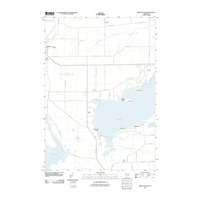
2010 Map of Princeton East
USGS Topo · Published 2010About this map
The Fox River meanders through the western wetlands of Green Lake County, defining a landscape of low-lying marshes and river-fed basins like Puckaway Lake. This 2010 survey illustrates the transition from the structured street grid of Princeton to the recreational and residential shoreline developments of Green Lake. The northeastern shore is marked by the extensive Golf Courses of Lawsonia, while residential clusters such as Sylvan Shores, Greenwyck, and Green Lake Terrace wrap around the western and southern banks. Local family and community history is preserved across several burial grounds, including Mount Tom Cemetery, Weiser Cemetery, and Grand Prairie Cemetery. The terrain is punctuated by distinct landmarks like Sugarloaf and Blackbird Point, which rise near the water's edge. This map documents a region where agricultural land meets the growing influence of lakefront residential expansion, connected by a network of rural routes like Old Green Lake Rd and County Hwy-K.
Find a feature on this map
50 named features on this map. Tap any name to fly to it.
Don’t see what you’re looking for? This feature index may not catch every label — zoom into the map to look around manually.
Map Details
Editions of this 2010 Princeton East Map
This is the sole edition of this map. No revisions or reprints were ever made.
Other maps of this area

1915 · Neshkoro
USGS Topo · 1:48,000

1916 · Ripon
USGS Topo · 1:48,000

1918 · Neshkoro
USGS Topo · 1:62,500

1918 · Ripon
USGS Topo · 1:62,500

1955 · Randolph
USGS Topo · 1:62,500

1955 · Fox Lake
USGS Topo · 1:62,500

1956 · Ripon
USGS Topo · 1:62,500

1957 · Madison
USGS Topo · 1:250,000

1960 · Madison
USGS Topo · 1:250,000

1963 · Neshkoro
USGS Topo · 1:62,500