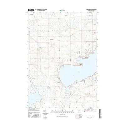
2016 Map of Princeton East
USGS Topo · Published 2016About this map
Princeton serves as the primary focal point of this 2016 survey, situated along the winding course of the Fox River. This area of Wisconsin is defined by the significant river system that flows through the landscape, accompanied by smaller tributaries such as Snake Cr. The topography indicates a mix of developed settlement and the natural hydrology typical of the region, where the river's path historically influenced local transportation and land use. For those studying the modern footprint of Green Lake County, this map provides the precise 21st-century alignment of local infrastructure and its relationship to the historic waterways that have long shaped the community.
Find a feature on this map
3 named features on this map. Tap any name to fly to it.
Don’t see what you’re looking for? This feature index may not catch every label — zoom into the map to look around manually.
Map Details
Editions of this 2016 Princeton East Map
This is the sole edition of this map. No revisions or reprints were ever made.
Other maps of this area

1915 · Neshkoro
USGS Topo · 1:48,000

1916 · Ripon
USGS Topo · 1:48,000

1918 · Neshkoro
USGS Topo · 1:62,500

1918 · Ripon
USGS Topo · 1:62,500

1955 · Randolph
USGS Topo · 1:62,500

1955 · Fox Lake
USGS Topo · 1:62,500

1956 · Ripon
USGS Topo · 1:62,500

1957 · Madison
USGS Topo · 1:250,000

1960 · Madison
USGS Topo · 1:250,000

1963 · Neshkoro
USGS Topo · 1:62,500