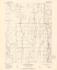
1952 Map of Princeton
USGS Topo · Published 1953About this map
The Larkin S Children Rancho dominates this mid-century landscape of the Sacramento Valley, where complex water management systems define the agricultural character of the region. A dense network of man-made waterways, including the Quint Canal, Main Canal, and the Colusa Drain, crisscrosses the terrain between Provident Creek and the Sacramento River. This 1952 survey highlights the transition from natural drainage to engineered irrigation that sustained the local ranching and farming economy.
Find a feature on this map
28 named features on this map. Tap any name to fly to it.
Don’t see what you’re looking for? This feature index may not catch every label — zoom into the map to look around manually.
Map Details
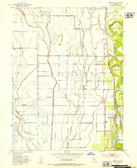
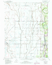
Editions of this 1952 Princeton Map
3 editions found
Other maps of this area

1888 · Marysville
USGS Topo · 1:125,000

1891 · Chico
USGS Topo · 1:125,000

1891 · Marysville
USGS Topo · 1:125,000

1893 · Chico
USGS Topo · 1:125,000

1894 · Marysville
USGS Topo · 1:125,000

1895 · Marysville
USGS Topo · 1:125,000

1895 · Chico
USGS Topo · 1:125,000

1906 · Maxwell
USGS Topo · 1:62,500

1906 · Willows
USGS Topo · 1:62,500

1911 · Sanborn Slough
USGS Topo · 1:31,680