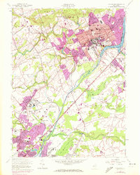
1954 Map of Princeton
USGS Topo · Published 1972About this map
Princeton University and the Theological Seminary anchor the academic core of this mid-century landscape, surrounded by a dense network of private schools and colleges. The map captures the specialized institutional character of the region, from the Westminster Choir College to the Lawrenceville School in the southwest. Between these educational hubs, the Delaware and Raritan Canal and the Millstone River trace the low-lying eastern boundary near Penns Neck. While the borough of Princeton shows significant development, the surrounding areas like Princessville and Coxs Corner retain a more dispersed settlement pattern. Notable landmarks such as Palmer Stadium and the Observatory illustrate the cultural and scientific infrastructure established by the early 1950s, while later photorevisions in purple indicate the post-war expansion into the adjacent townships of Lawrence and West Windsor.
Find a feature on this map
79 named features on this map. Tap any name to fly to it.
Don’t see what you’re looking for? This feature index may not catch every label — zoom into the map to look around manually.
Map Details
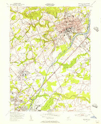
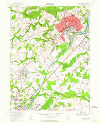
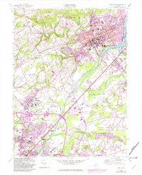
Editions of this 1954 Princeton Map
4 editions found
Other maps of this area

1888 · Bordentown
USGS Topo · 1:62,500

1888 · Princeton
USGS Topo · 1:62,500

1890 · Lambertville
USGS Topo · 1:62,500

1890 · Burlington
USGS Topo · 1:62,500

1891 · Lambertville
USGS Topo · 1:62,500

1893 · Bordentown
USGS Topo · 1:62,500

1893 · Burlington
USGS Topo · 1:62,500

1894 · Princeton
USGS Topo · 1:62,500

1894 · Lambertville
USGS Topo · 1:62,500

1904 · Burlington
USGS Topo · 1:62,500