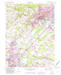
1954 Map of Princeton
USGS Topo · Published 1982About this map
Princeton University and the surrounding academic landscape define this mid-century view of central New Jersey. The map details a sophisticated network of institutions and historical sites, including the Theological Seminary, Westminster Choir College, and the sprawling grounds of the Lawrenceville School. Beyond the campus centers, the terrain transitions into the wetlands of Bear Swamp and the waters of Lake Carnegie and the Millstone River.
Find a feature on this map
85 named features on this map. Tap any name to fly to it.
Don’t see what you’re looking for? This feature index may not catch every label — zoom into the map to look around manually.
Map Details
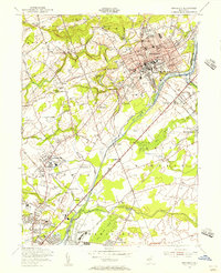
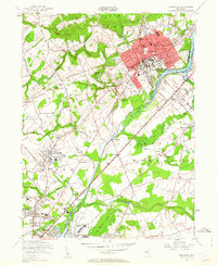
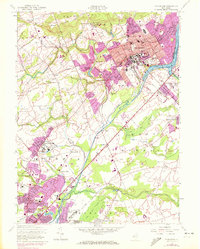
Editions of this 1954 Princeton Map
4 editions found
Other maps of this area

1888 · Bordentown
USGS Topo · 1:62,500

1888 · Princeton
USGS Topo · 1:62,500

1890 · Lambertville
USGS Topo · 1:62,500

1890 · Burlington
USGS Topo · 1:62,500

1891 · Lambertville
USGS Topo · 1:62,500

1893 · Bordentown
USGS Topo · 1:62,500

1893 · Burlington
USGS Topo · 1:62,500

1894 · Princeton
USGS Topo · 1:62,500

1894 · Lambertville
USGS Topo · 1:62,500

1904 · Burlington
USGS Topo · 1:62,500