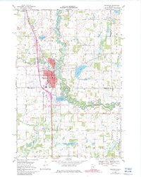
1968 Map of Princeton
USGS Topo · Published 1982About this map
The winding course of the Rum River serves as the central anchor for this area, which straddles the borders of Mille Lacs, Sherburne, and Isanti Counties. The city of Princeton is shown in detail, including its street grid and several civic institutions such as the Po, Hosp, and both the Jr High Sch and High Sch. The landscape is a mix of agricultural plots and wetlands, with numerous small bodies of water like Fog Lake and Silver Lake punctuating the terrain.
Find a feature on this map
35 named features on this map. Tap any name to fly to it.
Don’t see what you’re looking for? This feature index may not catch every label — zoom into the map to look around manually.
Map Details
Editions of this 1968 Princeton Map
2 editions found
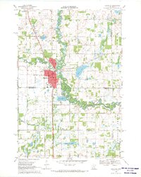
Other maps of this area

1916 · St. Francis
USGS Topo · 1:62,500

1919 · St. Francis
USGS Topo · 1:62,500

1953 · Stillwater
USGS Topo · 1:250,000

1955 · Stillwater
USGS Topo · 1:250,000

1958 · Stillwater
USGS Topo · 1:250,000

1961 · Orrock
USGS Topo · 1:24,000

1961 · Lake Fremont
USGS Topo · 1:24,000

1961 · Dalbo
USGS Topo · 1:24,000

1961 · Wyanett
USGS Topo · 1:24,000

1961 · Elk River
USGS Topo · 1:62,500
Featured Places
- Princeton, MN
- Baldwin Township, MN
- Wyanett Township, MN
- Spencer Brook Township, MN
- Princeton Township, MN