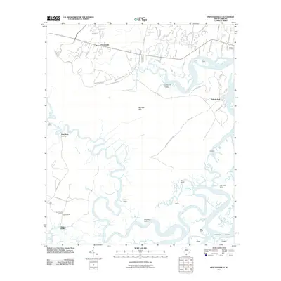
2011 Map of Pritchardville
USGS Topo · Published 2011About this map
The Lowcountry landscape of Beaufort County is defined by a dense network of tidal rivers and marshy islands centered around Pritchardville and Palmetto Bluff. The meandering course of the New River and May River dominates the area, creating a complex series of landforms including May River Neck, Doughboy Island, and Crane Island. This 2011 survey documents a transition in land use, where established landings like Good Hope Landing and Glasgow Landing sit alongside newer residential developments indicated by a burgeoning street grid.
Find a feature on this map
62 named features on this map. Tap any name to fly to it.
Don’t see what you’re looking for? This feature index may not catch every label — zoom into the map to look around manually.
Map Details
Editions of this 2011 Pritchardville Map
This is the sole edition of this map. No revisions or reprints were ever made.
Other maps of this area

1920 · Hardeeville
USGS Topo · 1:62,500

1920 · Okatie
USGS Topo · 1:62,500

1920 · Bluffton
USGS Topo · 1:62,500

1942 · Savannah
USGS Topo · 1:62,500

1942 · Okatie
USGS Topo · 1:62,500

1943 · Hardeeville
USGS Topo · 1:62,500

1945 · Bluffton
USGS Topo · 1:62,500

1947 · Savannah
USGS Topo · 1:250,000

1948 · Savannah
USGS Topo · 1:250,000

1953 · Hardeeville
USGS Topo · 1:62,500