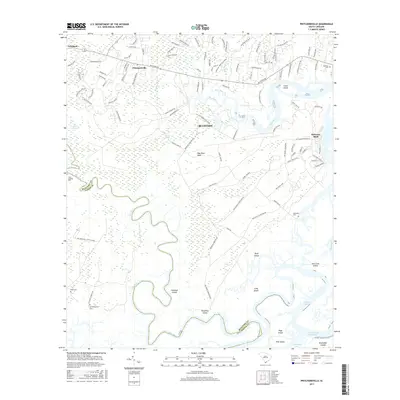
2017 Map of Pritchardville
USGS Topo · Published 2017About this map
Bluffton and the surrounding Lowcountry wetlands define this coastal survey, where the intricate network of the May River and New River carves through the landscape. The geography is characterized by numerous named islands and necks, including May River Neck, Doughboy Island, and Daufuskie Island, reflecting the tidewater nature of Beaufort County. The map documents the persistent connection between the land and sea, tracing the Intracoastal Waterway as it passes Page Island and Pine Island. Local heritage is anchored by several family and community burial sites, such as Cook Landing Cem and Shad Cem, which provide specific points of interest for genealogists. The transition from established settlements like Pritchardville to the sprawling marshes of Shoe Quarter Swamp illustrates the varied terrain of the South Carolina coast in the early 21st century.
Find a feature on this map
111 named features on this map. Tap any name to fly to it.
Don’t see what you’re looking for? This feature index may not catch every label — zoom into the map to look around manually.
Map Details
Editions of this 2017 Pritchardville Map
This is the sole edition of this map. No revisions or reprints were ever made.
Other maps of this area

1920 · Hardeeville
USGS Topo · 1:62,500

1920 · Okatie
USGS Topo · 1:62,500

1920 · Bluffton
USGS Topo · 1:62,500

1942 · Savannah
USGS Topo · 1:62,500

1942 · Okatie
USGS Topo · 1:62,500

1943 · Hardeeville
USGS Topo · 1:62,500

1945 · Bluffton
USGS Topo · 1:62,500

1947 · Savannah
USGS Topo · 1:250,000

1948 · Savannah
USGS Topo · 1:250,000

1953 · Hardeeville
USGS Topo · 1:62,500