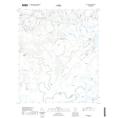
2020 Map of Pritchardville
USGS Topo · Published 2020About this map
Bluffton and Palmetto Bluff anchor this coastal survey, where the maritime landscape of the South Carolina Lowcountry is defined by the winding course of the May River. The map illustrates a complex network of waterways and islands, including the northern tip of Daufuskie Island and the busy Intracoastal Waterway. To the west, the inland settlements of Pritchardville and Pritchard show significant modern residential development, with street names like New Riverside Dr and Heritage Pkwy tracing the area's growth.
Find a feature on this map
128 named features on this map. Tap any name to fly to it.
Don’t see what you’re looking for? This feature index may not catch every label — zoom into the map to look around manually.
Map Details
Editions of this 2020 Pritchardville Map
This is the sole edition of this map. No revisions or reprints were ever made.
Other maps of this area

1920 · Hardeeville
USGS Topo · 1:62,500

1920 · Okatie
USGS Topo · 1:62,500

1920 · Bluffton
USGS Topo · 1:62,500

1942 · Savannah
USGS Topo · 1:62,500

1942 · Okatie
USGS Topo · 1:62,500

1943 · Hardeeville
USGS Topo · 1:62,500

1945 · Bluffton
USGS Topo · 1:62,500

1947 · Savannah
USGS Topo · 1:250,000

1948 · Savannah
USGS Topo · 1:250,000

1953 · Hardeeville
USGS Topo · 1:62,500