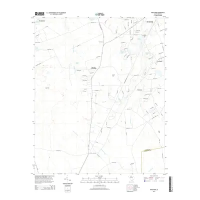
2014 Map of Privateer
USGS Topo · Published 2014About this map
The low-lying pine barrens and Carolina bays of south-central Sumter County are well-documented in this 2014 survey. Centered on the community of Privateer, the landscape is defined by its complex hydrology, where Nasty Br and Bush Br drain into the sprawling Sammy Swamp. The map provides a detailed look at rural settlement patterns near Harvins Crossroads and the southwestern outskirts of Sumter, including newer residential developments like Southgate.
Find a feature on this map
99 named features on this map. Tap any name to fly to it.
Don’t see what you’re looking for? This feature index may not catch every label — zoom into the map to look around manually.
Map Details
Editions of this 2014 Privateer Map
This is the sole edition of this map. No revisions or reprints were ever made.
Other maps of this area

1943 · Eastover
USGS Topo · 1:62,500

1946 · Elloree
USGS Topo · 1:62,500

1946 · Sumter
USGS Topo · 1:62,500

1953 · Poinsett State Park
USGS Topo · 1:24,000

1953 · Wedgefield
USGS Topo · 1:24,000

1954 · Augusta
USGS Topo · 1:250,000

1957 · Sumter East
USGS Topo · 1:24,000

1957 · Sumter West
USGS Topo · 1:24,000

1957 · Sumter
USGS Topo · 1:62,500

1957 · Augusta
USGS Topo · 1:250,000