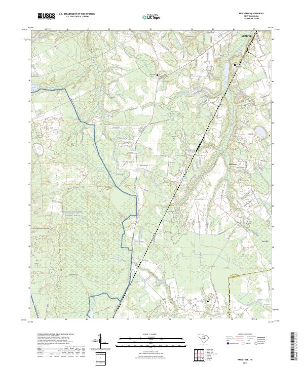
2024 Map of Privateer
USGS Topo · Published 2024About this map
The Poinsett Electronic Combat Range occupies a large portion of this landscape south of Sumter, illustrating the contemporary overlap of military activity and the natural lowlands of the Sand Hills. The terrain is defined by a complex network of wetlands and sluggish water bodies, including the wide reaches of Big Bay and Sammy Swamp. These features, alongside Harvin Bay and Branson Swamp, dictate the local road patterns, which must navigate around these seasonally saturated basins. Settlement is concentrated around the community of Privateer, where residential roads meet the agricultural and timbered outskirts. Family history is preserved at small sites like Smith Cem and the Reynolds Cem, while larger modern facilities like the Hillside Memorial Park Cem serve the growing population near the city limits.
Find a feature on this map
126 named features on this map. Tap any name to fly to it.
Don’t see what you’re looking for? This feature index may not catch every label — zoom into the map to look around manually.
Map Details
Editions of this 2024 Privateer Map
This is the sole edition of this map. No revisions or reprints were ever made.
Other maps of this area

1943 · Eastover
USGS Topo · 1:62,500

1946 · Elloree
USGS Topo · 1:62,500

1946 · Sumter
USGS Topo · 1:62,500

1953 · Poinsett State Park
USGS Topo · 1:24,000

1953 · Wedgefield
USGS Topo · 1:24,000

1954 · Augusta
USGS Topo · 1:250,000

1957 · Sumter East
USGS Topo · 1:24,000

1957 · Sumter West
USGS Topo · 1:24,000

1957 · Sumter
USGS Topo · 1:62,500

1957 · Augusta
USGS Topo · 1:250,000