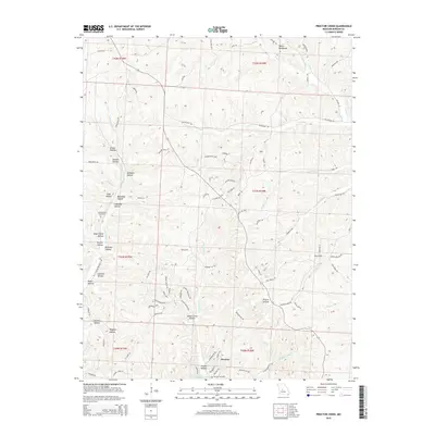
2015 Map of Proctor Creek
USGS Topo · Published 2015About this map
Proctor sits at the southern edge of this landscape, positioned where the rugged topography of Morgan County meets the northern reaches of the Lake of the Ozarks. The area is defined by a dense network of drainages and named hollows, including Brewer Hollow, Indian Camp Hollow, and Sawmill Hollow, which illustrate the traditional timber and agricultural patterns of the Missouri Ozarks. Elevated ridges such as the Devils Backbone provide a contrast to the low-lying basins like Dry Sink. For genealogists, the map preserves the locations of the Ard-Menteer Cemetery and Proctor Cemetery, alongside numerous family-named roads like McCasland Rd and Ritchie Rd. The winding course of Proctor Creek and its tributaries, such as Little Proctor Cr, dictates the placement of early settlements and modern infrastructure like Ivy Bend Rd.
Find a feature on this map
92 named features on this map. Tap any name to fly to it.
Don’t see what you’re looking for? This feature index may not catch every label — zoom into the map to look around manually.
Map Details
Editions of this 2015 Proctor Creek Map
This is the sole edition of this map. No revisions or reprints were ever made.
Other maps of this area

1887 · Warsaw
USGS Topo · 1:125,000

1888 · Versailles
USGS Topo · 1:125,000

1893 · Versailles
USGS Topo · 1:125,000

1894 · Warsaw
USGS Topo · 1:125,000

1904 · Gravois Mills
USGS Topo · 1:62,500

1934 · Purvis
USGS Topo · 1:24,000

1934 · Irontown Ferry
USGS Topo · 1:24,000

1935 · Gravois Mills
USGS Topo · 1:24,000

1935 · Proctor Creek
USGS Topo · 1:24,000

1935 · Boylers Mill
USGS Topo · 1:24,000