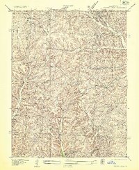
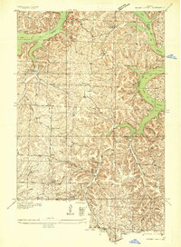
1935 Map of Proctor Creek
USGS Topo · Published 1935About this map
Gravois Creek and its many winding tributaries define the deeply carved terrain of Morgan County, captured here in 1935 by division engineer Glenn S. Smith. This era shows a landscape transitioning with the recent creation of the Lake of the Ozarks, which touches the southern reaches of the quadrangle near Marmaduke Camp and Proctor School. The settlement pattern is characterized by a high density of one-room schoolhouses serving isolated hollows, including Locust School, Webb School, and Lindoff School.
Find a feature on this map
44 named features on this map. Tap any name to fly to it.
Don’t see what you’re looking for? This feature index may not catch every label — zoom into the map to look around manually.
Map Details
Editions of this 1935 Proctor Creek Map
This is the sole edition of this map. No revisions or reprints were ever made.
Other maps of this area
1887 · Warsaw
USGS Topo · 1:125,000

1888 · Versailles
USGS Topo · 1:125,000

1893 · Versailles
USGS Topo · 1:125,000
1894 · Warsaw
USGS Topo · 1:125,000
1904 · Gravois Mills
USGS Topo · 1:62,500
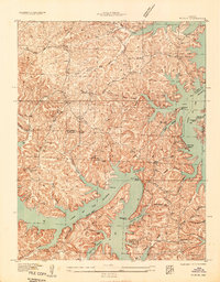
1934 · Purvis
USGS Topo · 1:24,000
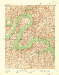
1934 · Irontown Ferry
USGS Topo · 1:24,000
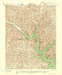
1935 · Gravois Mills
USGS Topo · 1:24,000
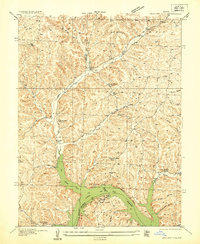
1935 · Boylers Mill
USGS Topo · 1:24,000
1935 · Knobby Creek
USGS Topo · 1:24,000