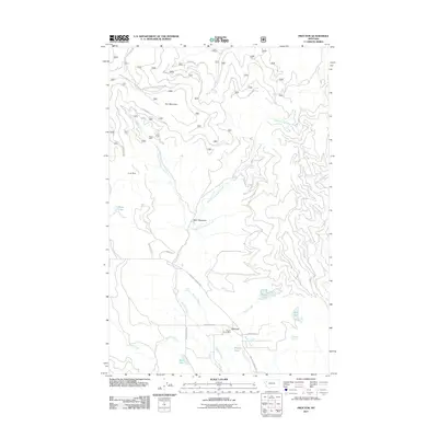
2011 Map of Proctor
USGS Topo · Published 2011About this map
The Proctor Post Office serves as the focal point of this rural Lake County landscape, where the valley floor meets the rising slopes of Kerr Mountain. The terrain is defined by a network of drainage systems, including Dayton Creek and its various forks, which flow through agricultural areas and high-elevation meadows. Evidence of earlier industrial activity is found in the northern reaches, where the Big 4 Mine and Jumbo Mine are situated among the timbered hills.
Find a feature on this map
32 named features on this map. Tap any name to fly to it.
Don’t see what you’re looking for? This feature index may not catch every label — zoom into the map to look around manually.
Map Details
Editions of this 2011 Proctor Map
This is the sole edition of this map. No revisions or reprints were ever made.
Other maps of this area

1920 · Flathead Lake
USGS Topo · 1:125,000

1943 · Kalispell
USGS Topo · 1:125,000

1956 · Wallace
USGS Topo · 1:250,000

1957 · Kalispell
USGS Topo · 1:250,000

1960 · Kalispell
USGS Topo · 1:250,000

1960 · Wallace
USGS Topo · 1:250,000

1961 · Kalispell
USGS Topo · 1:250,000

1962 · Kila
USGS Topo · 1:24,000

1962 · Lion Mountain
USGS Topo · 1:24,000

1962 · Somers
USGS Topo · 1:24,000