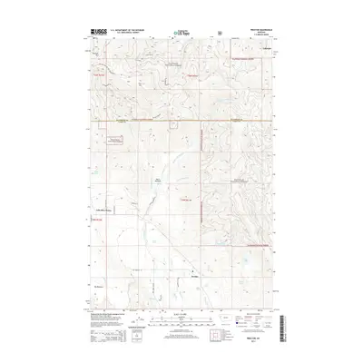
2014 Map of Proctor
USGS Topo · Published 2014About this map
The settlement of Proctor lies at the southern end of this mountainous landscape, situated near the headwaters of Proctor Cr and Dayton Cr. The terrain is defined by the steep slopes of the Flathead National Forest, where high elevations like Blacktail Mtn and Kerr Mtn overlook a complex network of drainages. These waters feed into numerous small basins and alpine pools, including Red Lake, Row Lake, and Skags Lake. In the lower elevations, the forest gives way to open terrain at Basin Meadows and Big Meadows, reflecting the traditional ranching and timber geography of the region.
Find a feature on this map
35 named features on this map. Tap any name to fly to it.
Don’t see what you’re looking for? This feature index may not catch every label — zoom into the map to look around manually.
Map Details
Editions of this 2014 Proctor Map
This is the sole edition of this map. No revisions or reprints were ever made.
Other maps of this area

1920 · Flathead Lake
USGS Topo · 1:125,000

1943 · Kalispell
USGS Topo · 1:125,000

1956 · Wallace
USGS Topo · 1:250,000

1957 · Kalispell
USGS Topo · 1:250,000

1960 · Kalispell
USGS Topo · 1:250,000

1960 · Wallace
USGS Topo · 1:250,000

1961 · Kalispell
USGS Topo · 1:250,000

1962 · Kila
USGS Topo · 1:24,000

1962 · Lion Mountain
USGS Topo · 1:24,000

1962 · Somers
USGS Topo · 1:24,000