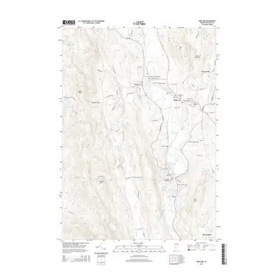
2015 Map of Proctor
USGS Topo · Published 2015About this map
Otter Creek meanders through the central valley of this Rutland County landscape, serving as a corridor for several historic crossings. The map reveals a dense concentration of covered bridges, including the Depot Covered Bridge, Hammond Covered Bridge, and Cooley Covered Bridge, highlighting the region's enduring architectural heritage. To the west, the topography rises sharply toward Biddie Knob and Grandpa Knob within the Whipple Hollow valley, while the east is anchored by the heights of Cox Mtn and the Green Mountains.
Find a feature on this map
84 named features on this map. Tap any name to fly to it.
Don’t see what you’re looking for? This feature index may not catch every label — zoom into the map to look around manually.
Map Details
Editions of this 2015 Proctor Map
This is the sole edition of this map. No revisions or reprints were ever made.
Other maps of this area

1891 · Rutland
USGS Topo · 1:62,500

1893 · Rutland
USGS Topo · 1:62,500

1895 · Castleton
USGS Topo · 1:62,500

1897 · Castleton
USGS Topo · 1:62,500

1902 · Brandon
USGS Topo · 1:62,500

1904 · Brandon
USGS Topo · 1:62,500

1915 · Rochester
USGS Topo · 1:62,500

1917 · Rochester
USGS Topo · 1:62,500

1920 · Brandon
USGS Topo · 1:62,500

1944 · Proctor
USGS Topo · 1:31,680