Loading...
Loading map...2024 Map of Proctor
USGS Topo · Published 2024About this map
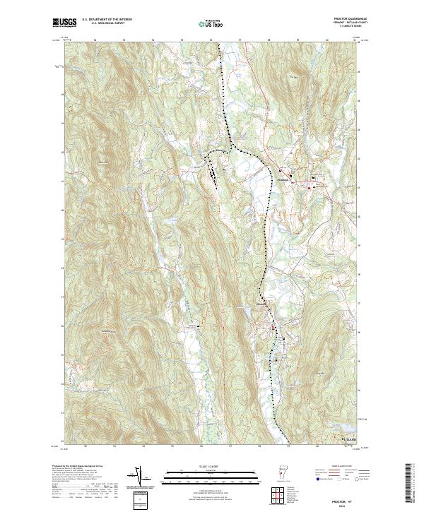
Otter Creek carves a central path through this Rutland County landscape, anchoring the industrial and civic development of Proctor and Pittsford. The area's complex geology is evidenced by Troy Minerals and various quarry access routes like Hollister Quarry Rd, reflecting a long history of mineral extraction in the marble-rich Green Mountains. The Vermont Railway corridor parallels the creek, facilitating the movement of materials from these operations through the valley.
Find a feature on this map
82 named features on this map. Tap any name to fly to it.
Don’t see what you’re looking for? This feature index may not catch every label — zoom into the map to look around manually.
Map Details
Date Portrayed2024
Date Published2024
PublisherU.S. Geological Survey
Map TypeTopographic
Scale1:24000
Physical Dimensions24 x 29 inches
Editions of this 2024 Proctor Map
This is the sole edition of this map. No revisions or reprints were ever made.
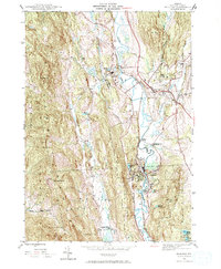
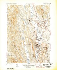
Historical Maps of Ira Through Time
3 maps found
Featured Locations
Source Details
SourceU.S. Geological Survey
CopyrightPublic Domain