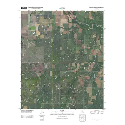
2012 Map of Proffitt Crossing
USGS Topo · Published 2012About this map
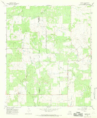
The Brazos River meanders across this Young County landscape, marking the historic geography near Proffitt Crossing. This 2012 survey illustrates a pastoral region defined by its complex network of waterways, where the main river is fed by Boggy Cr, Rabbit Cr, and the winding Elm Cr. The terrain rises to the distinct elevation of Bush Knob in the southwest, providing a natural landmark over the surrounding drainage basins.
Find a feature on this map
33 named features on this map. Tap any name to fly to it.
Don’t see what you’re looking for? This feature index may not catch every label — zoom into the map to look around manually.
Map Details
Editions of this 2012 Proffitt Crossing Map
This is the sole edition of this map. No revisions or reprints were ever made.
Other maps of this area

1954 · Wichita Falls
USGS Topo · 1:250,000

1958 · Wichita Falls
USGS Topo · 1:250,000

1964 · Padgett
USGS Topo · 1:24,000

1964 · Olney
USGS Topo · 1:24,000

1965 · Throckmorton NE
USGS Topo · 1:24,000

1966 · Westover SE
USGS Topo · 1:24,000
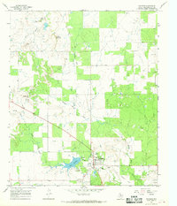
1966 · Woodson
USGS Topo · 1:24,000
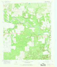
1966 · Proffitt
USGS Topo · 1:24,000
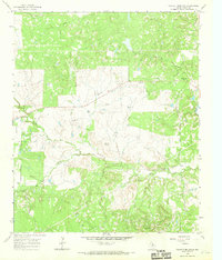
1966 · Tackett Mountain
USGS Topo · 1:24,000
1966 · Murray
USGS Topo · 1:24,000