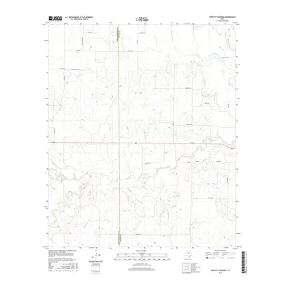
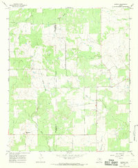
2016 Map of Proffitt Crossing
USGS Topo · Published 2016About this map
The Brazos River meanders across the northeast corner of this map, defining the landscape at Proffitt Crossing. This region on the border of Throckmorton and Young Counties is characterized by a dense network of seasonal drainages and creek beds, including Elm Cr, Boggy Cr, and Cribb Station Cr. The terrain is marked by prominent local features like Bush Knob and the westward-flowing Dry Br.
Find a feature on this map
32 named features on this map. Tap any name to fly to it.
Don’t see what you’re looking for? This feature index may not catch every label — zoom into the map to look around manually.
Map Details
Editions of this 2016 Proffitt Crossing Map
This is the sole edition of this map. No revisions or reprints were ever made.
Other maps of this area

1954 · Wichita Falls
USGS Topo · 1:250,000

1958 · Wichita Falls
USGS Topo · 1:250,000

1964 · Padgett
USGS Topo · 1:24,000

1964 · Olney
USGS Topo · 1:24,000

1965 · Throckmorton NE
USGS Topo · 1:24,000

1966 · Westover SE
USGS Topo · 1:24,000
1966 · Woodson
USGS Topo · 1:24,000
1966 · Proffitt
USGS Topo · 1:24,000
1966 · Tackett Mountain
USGS Topo · 1:24,000
1966 · Murray
USGS Topo · 1:24,000