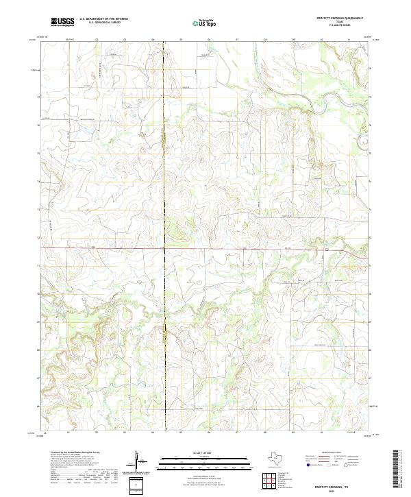
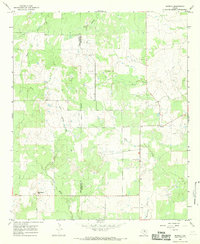
2022 Map of Proffitt Crossing
USGS Topo · Published 2022About this map
The Brazos River cuts through the northeast corner of this North Texas landscape, where the boundary between Throckmorton Co and Young Co divides a region defined by complex creek drainage and rural road networks. Extensive cattle-country infrastructure is visible through names like Elbert Cemetery Rd and Mexican Spring Rd, reflecting the heritage of early ranching and community life. The terrain is deeply carved by watercourses including Boggy Cr, Rabbit Cr, and the multi-branched Elm Cr. To the south, Cribb Station Cr and Dry Br further emphasize the hydrological character of the area, while names like Proffitt Rd and Batchler Rd preserve the identities of local families who settled these sections.
Find a feature on this map
31 named features on this map. Tap any name to fly to it.
Don’t see what you’re looking for? This feature index may not catch every label — zoom into the map to look around manually.
Map Details
Editions of this 2022 Proffitt Crossing Map
This is the sole edition of this map. No revisions or reprints were ever made.
Other maps of this area

1954 · Wichita Falls
USGS Topo · 1:250,000

1958 · Wichita Falls
USGS Topo · 1:250,000

1964 · Padgett
USGS Topo · 1:24,000

1964 · Olney
USGS Topo · 1:24,000

1965 · Throckmorton NE
USGS Topo · 1:24,000

1966 · Westover SE
USGS Topo · 1:24,000
1966 · Woodson
USGS Topo · 1:24,000
1966 · Proffitt
USGS Topo · 1:24,000
1966 · Tackett Mountain
USGS Topo · 1:24,000
1966 · Murray
USGS Topo · 1:24,000