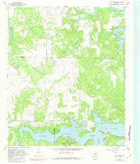
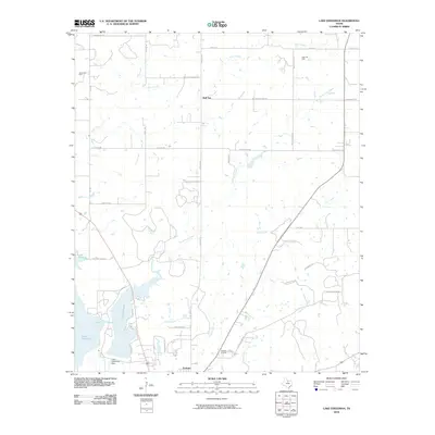
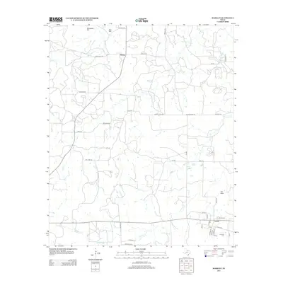
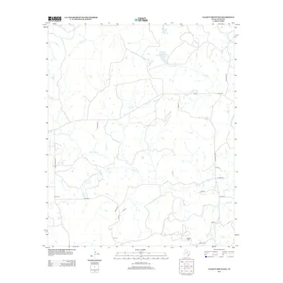
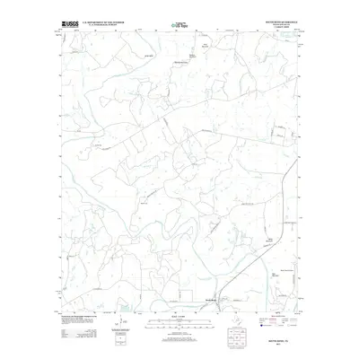
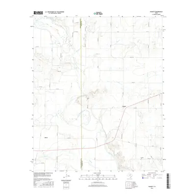
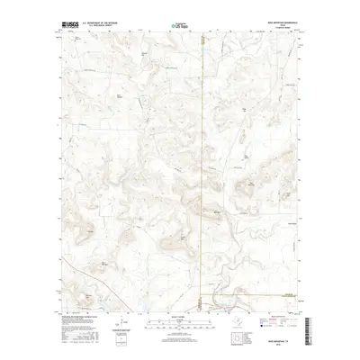
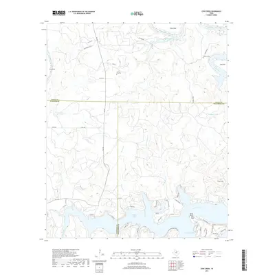
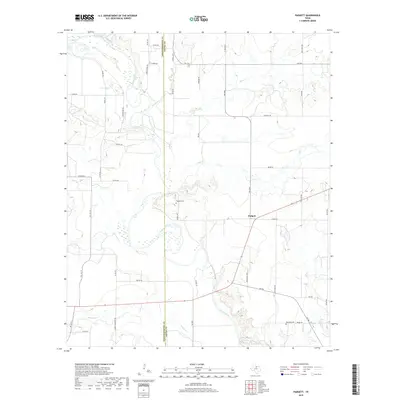
1966 Map of Proffitt Crossing
USGS Topo · Published 1982About this map
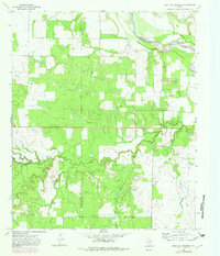
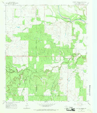
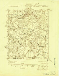
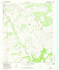
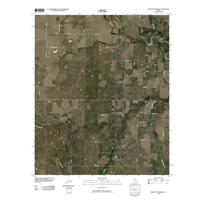
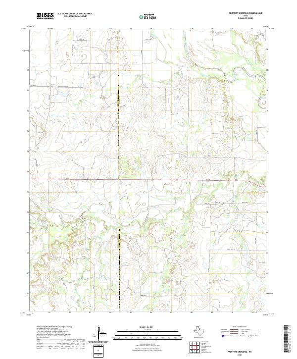
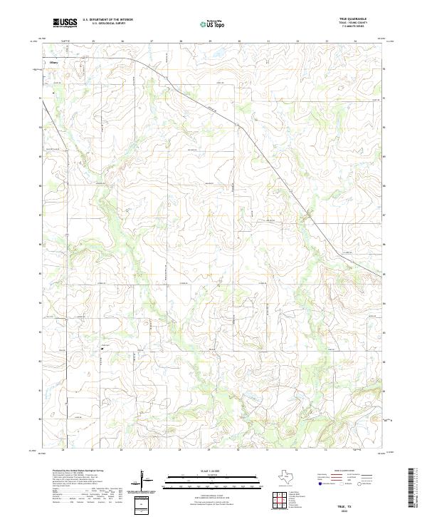
Proffitt Crossing serves as the focal point of this northern Texas landscape where the Brazos River meanders through the boundary of Throckmorton and Young counties. The terrain is defined by a dense network of drainage systems, including Rabbit Creek, Boggy Creek, and the winding Elm Creek. Unlike the more settled regions of the state, this area shows a landscape primarily shaped by natural watercourses and the industrial footprint of petroleum extraction. Numerous scattered Oil Wells are mapped across the prairie, indicating the mid-century energy production that defined much of this rural corridor. The presence of Cribb Station Creek suggests a history tied to old transit routes or stage stops, while features like Brushy Knob Creek and Meyer Branch further illustrate the rugged, creek-carved topography of the region during the mid-1960s.
Find a feature on this map
14 named features on this map. Tap any name to fly to it.
Don’t see what you’re looking for? This feature index may not catch every label — zoom into the map to look around manually.
Map Details
Editions of this 1966 Proffitt Crossing Map
2 editions found
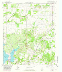
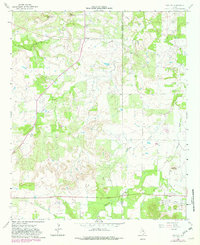
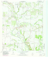
Historical Maps of Proffitt Crossing Through Time
69 maps found
1924 Breckenridge 1-a
Young County, TX
1924 Graham 4-d
Young County, TX
1925 Graham 4-c
Young County, TX
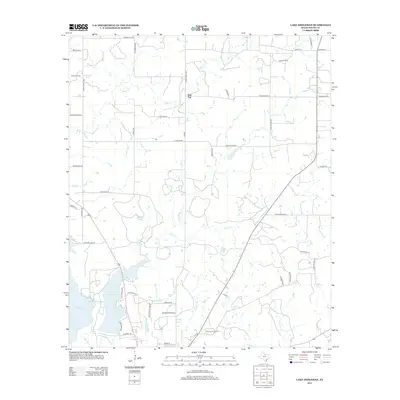
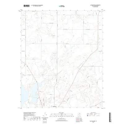
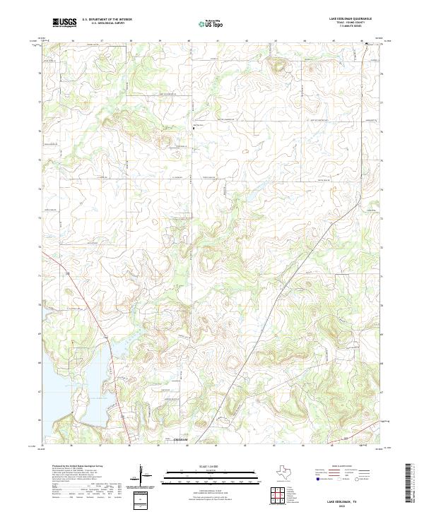
1964 Lake Eddleman
Young County, TX
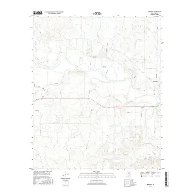
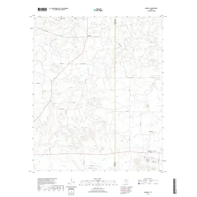
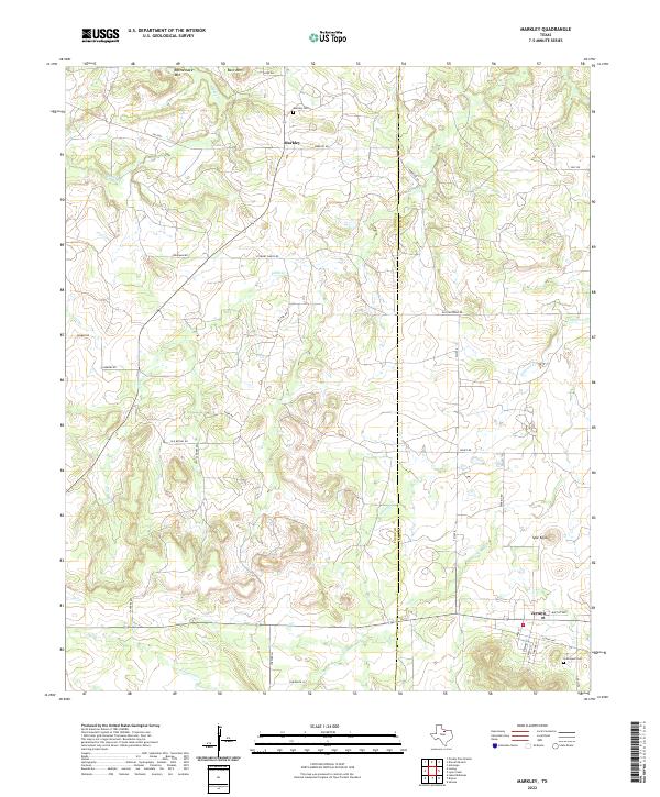
1964 Markley
Young County, TX
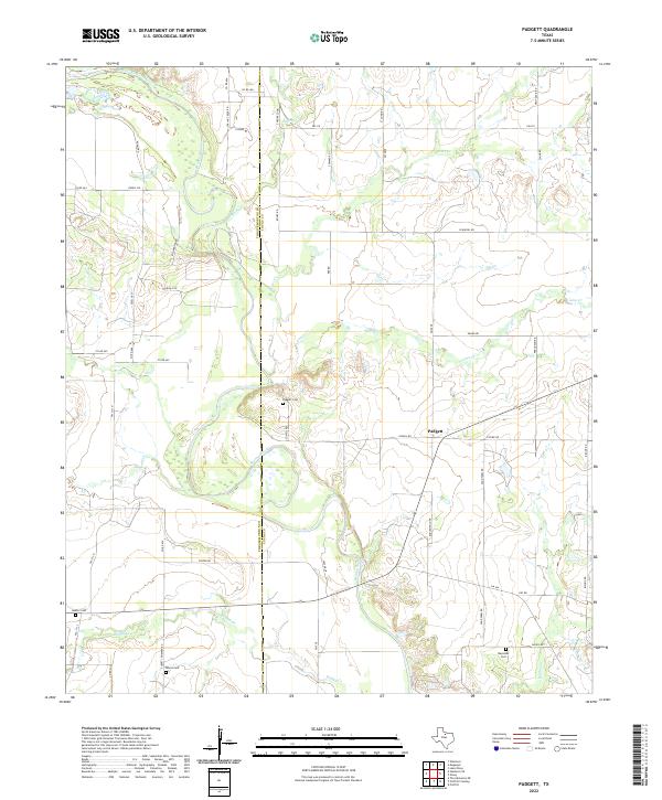
1964 Padgett
Young County, TX
1964 True
Young County, TX
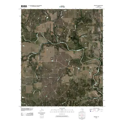
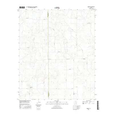
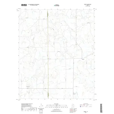
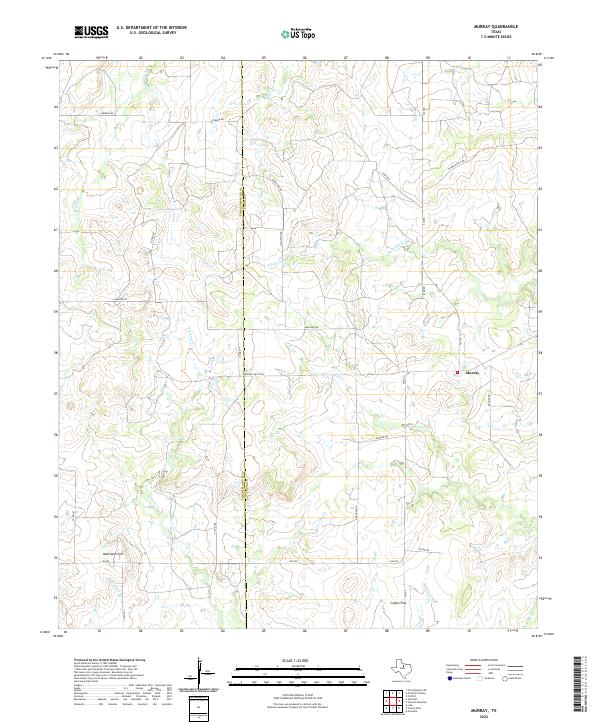
1966 Murray
Young County, TX
1966 Proffitt Crossing
Young County, TX
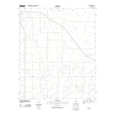
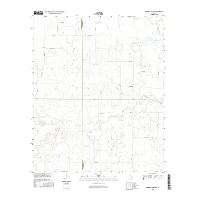
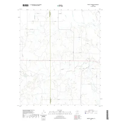
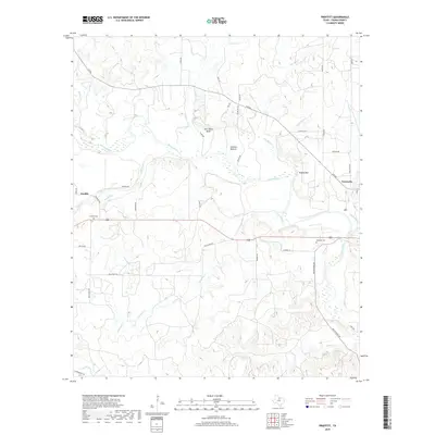
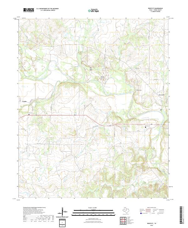
1966 Proffitt
Young County, TX
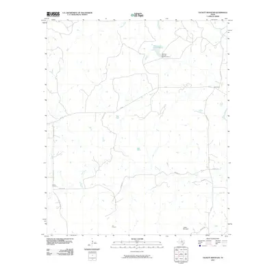
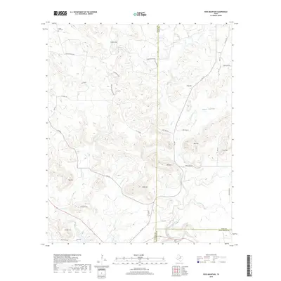
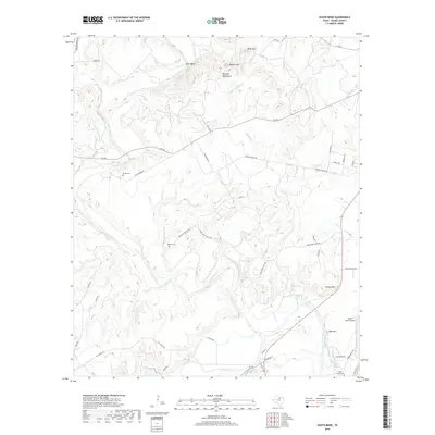
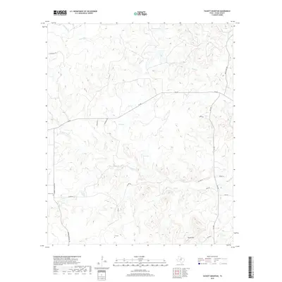
1966 Tackett Mountain
Young County, TX
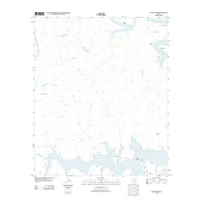
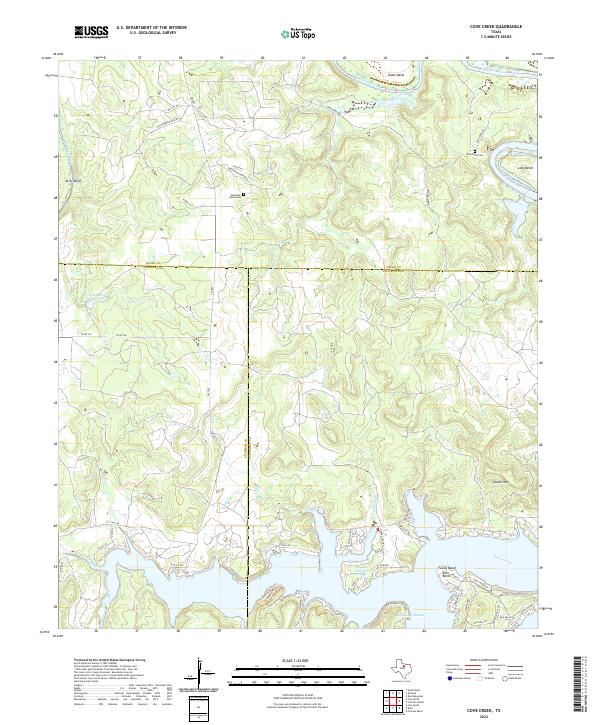
1967 Cove Creek
Young County, TX
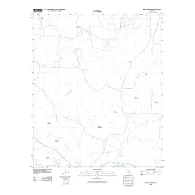
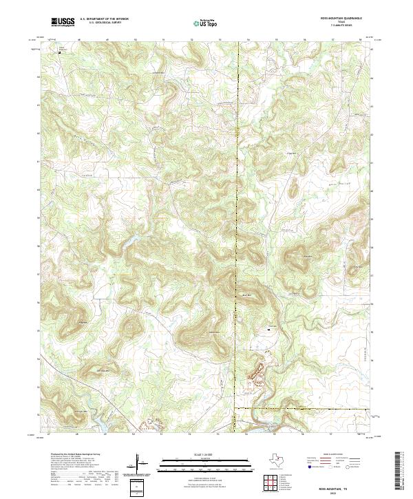
1967 Ross Mountain
Young County, TX
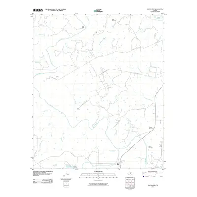
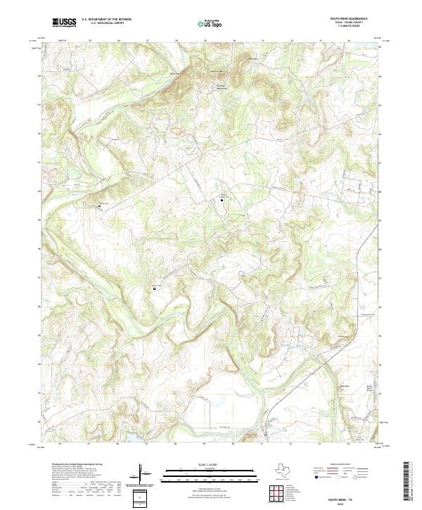
1967 South Bend
Young County, TX
2010 Cove Creek
Young County, TX
2010 Lake Eddleman
Young County, TX
2010 Markley
Young County, TX
2010 Murray
Young County, TX
2010 Padgett
Young County, TX
2010 Proffitt Crossing
Young County, TX
2010 Proffitt
Young County, TX
2010 Ross Mountain
Young County, TX
2010 South Bend
Young County, TX
2010 Tackett Mountain
Young County, TX
2010 True
Young County, TX
2012 Cove Creek
Young County, TX
2012 Lake Eddleman
Young County, TX
2012 Markley
Young County, TX
2012 Murray
Young County, TX
2012 Proffitt Crossing
Young County, TX
2012 Ross Mountain
Young County, TX
2012 Tackett Mountain
Young County, TX
2012 True
Young County, TX
2013 Padgett
Young County, TX
2013 Proffitt
Young County, TX
2013 South Bend
Young County, TX
2016 Cove Creek
Young County, TX
2016 Lake Eddleman
Young County, TX
2016 Markley
Young County, TX
2016 Murray
Young County, TX
2016 Padgett
Young County, TX
2016 Proffitt Crossing
Young County, TX
2016 Proffitt
Young County, TX
2016 Ross Mountain
Young County, TX
2016 South Bend
Young County, TX
2016 Tackett Mountain
Young County, TX
2016 True
Young County, TX
2019 Cove Creek
Young County, TX
2019 Lake Eddleman
Young County, TX
2019 Markley
Young County, TX
2019 Murray
Young County, TX
2019 Padgett
Young County, TX
2019 Proffitt Crossing
Young County, TX
2019 Proffitt
Young County, TX
2019 Ross Mountain
Young County, TX
2019 South Bend
Young County, TX
2019 Tackett Mountain
Young County, TX
2019 True
Young County, TX
2022 Cove Creek
Young County, TX
2022 Lake Eddleman
Young County, TX
2022 Markley
Young County, TX
2022 Murray
Young County, TX
2022 Padgett
Young County, TX
2022 Proffitt Crossing
Young County, TX
2022 Proffitt
Young County, TX
2022 Ross Mountain
Young County, TX
2022 South Bend
Young County, TX

2022 Tackett Mountain
Young County, TX
2022 True
Young County, TX