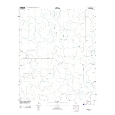
2013 Map of Proffitt
USGS Topo · Published 2013About this map
The Brazos River carves a winding path through this North Texas landscape, separating the flat expanse of Johnson Bottom from higher terrain like Deer Head Bluff and Round Mountain. In the northeast corner, Newcastle serves as the primary hub, while the smaller community of Proffitt anchors the western edge near Elm Cr. The map preserves important genealogical data for Young County researchers, documenting the exact locations of the Proffitt Cem and Woolfolk Cem. Numerous waterways such as Gibbens Cr, Post Oak Cr, and Whiskey Cr define the drainage patterns across this rural territory, while a network of named local roads like Fisher Ranch Rd and Peveler Rd reveal the distribution of ranching and agricultural tracts in the early 21st century.
Find a feature on this map
48 named features on this map. Tap any name to fly to it.
Don’t see what you’re looking for? This feature index may not catch every label — zoom into the map to look around manually.
Map Details
Editions of this 2013 Proffitt Map
This is the sole edition of this map. No revisions or reprints were ever made.
Other maps of this area

1925 · Graham 4-c
USGS Topo · 1:48,000

1927 · Graham
USGS Topo · 1:62,500

1954 · Wichita Falls
USGS Topo · 1:250,000

1958 · Wichita Falls
USGS Topo · 1:250,000

1964 · Newcastle
USGS Topo · 1:24,000

1964 · Padgett
USGS Topo · 1:24,000

1964 · True
USGS Topo · 1:24,000

1964 · Olney
USGS Topo · 1:24,000
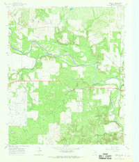
1966 · Proffitt
USGS Topo · 1:24,000
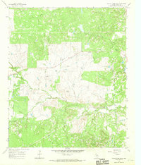
1966 · Tackett Mountain
USGS Topo · 1:24,000