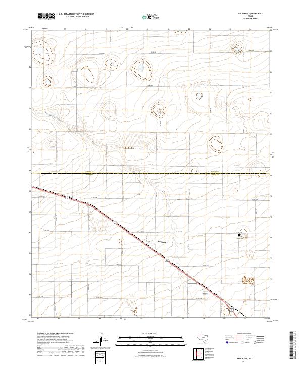
2022 Map of Progress
USGS Topo · Published 2022About this map
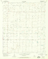
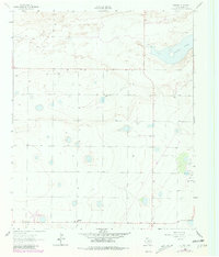
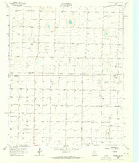
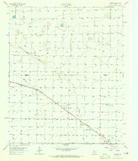
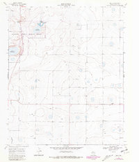
The High Plains of the Texas Panhandle define the landscape of this region, where the community of Progress serves as a central hub. Situated along the boundary line of Parmer Co and Bailey Co, the area is characterized by a precise grid of rural roads and the prominent diagonal corridor of a regional highway. The terrain is relatively uniform, marked significantly by Progress Draw, a natural drainage feature that cuts across the northwest. Genealogical interest is centered on two significant burial sites: the Bailey County Cem located in the eastern portion of the map and the Muleshoe Memorial Park Cem to the south. The road network, including FM 3125 and FM 2079, illustrates the agricultural connectivity vital to this part of Bailey County, with local streets like Apple St and 8th St anchoring the settlement at Progress.
Find a feature on this map
35 named features on this map. Tap any name to fly to it.
Don’t see what you’re looking for? This feature index may not catch every label — zoom into the map to look around manually.
Map Details
Editions of this 2022 Progress Map
This is the sole edition of this map. No revisions or reprints were ever made.
Historical Maps of Progress Through Time
22 maps found
1962 Baileyboro
Bailey County, TX
1962 Baileyboro NE
Bailey County, TX
1962 Birdwell Ranch
Bailey County, TX
1962 Needmore
Bailey County, TX
1962 Stegall
Bailey County, TX
1963 Lazbuddie SW
Bailey County, TX
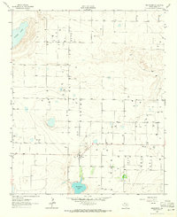
1963 Progress
Bailey County, TX
1968 Bula
Bailey County, TX
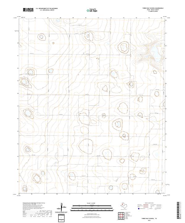
1968 Three Way School
Bailey County, TX
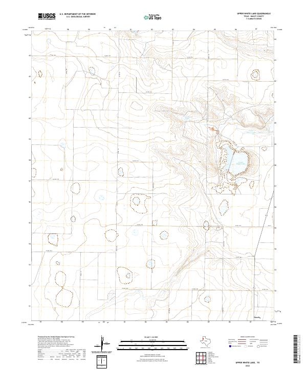
1968 Upper White Lake
Bailey County, TX
1985 Golden Ranch
Bailey County, TX
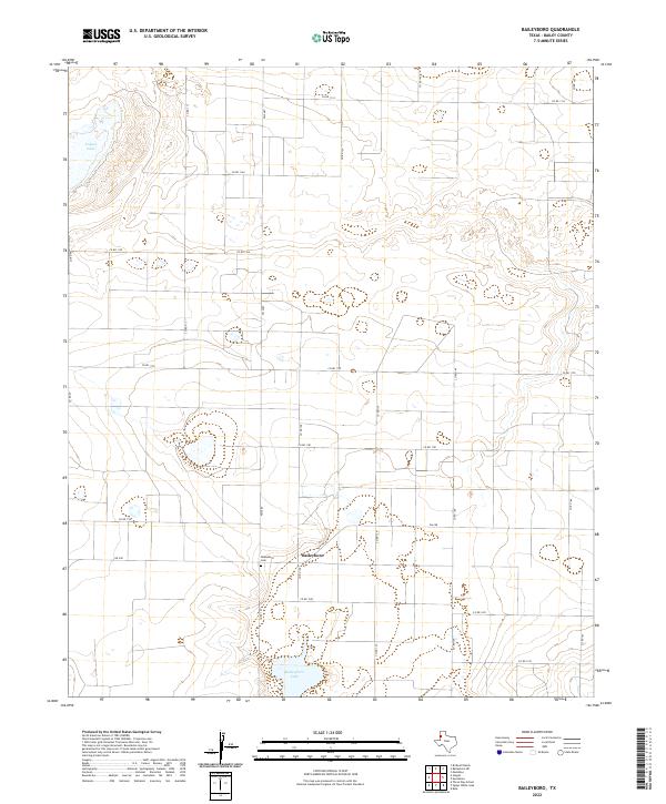
2022 Baileyboro
Bailey County, TX
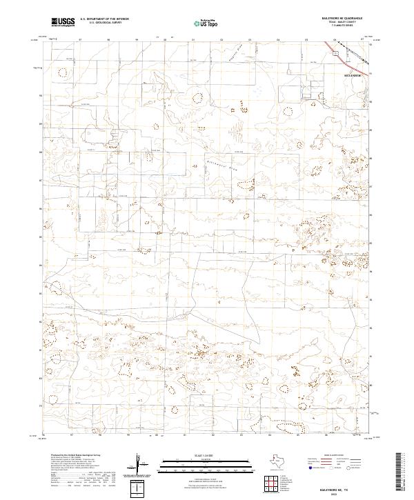
2022 Baileyboro NE
Bailey County, TX
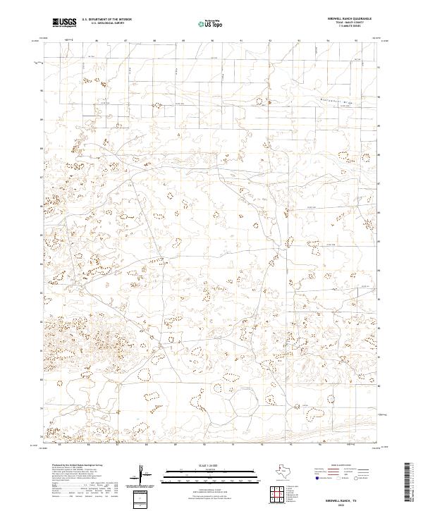
2022 Birdwell Ranch
Bailey County, TX
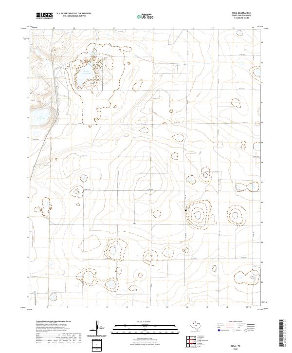
2022 Bula
Bailey County, TX
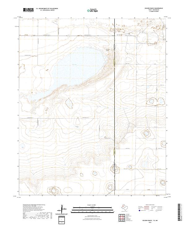
2022 Golden Ranch
Bailey County, TX
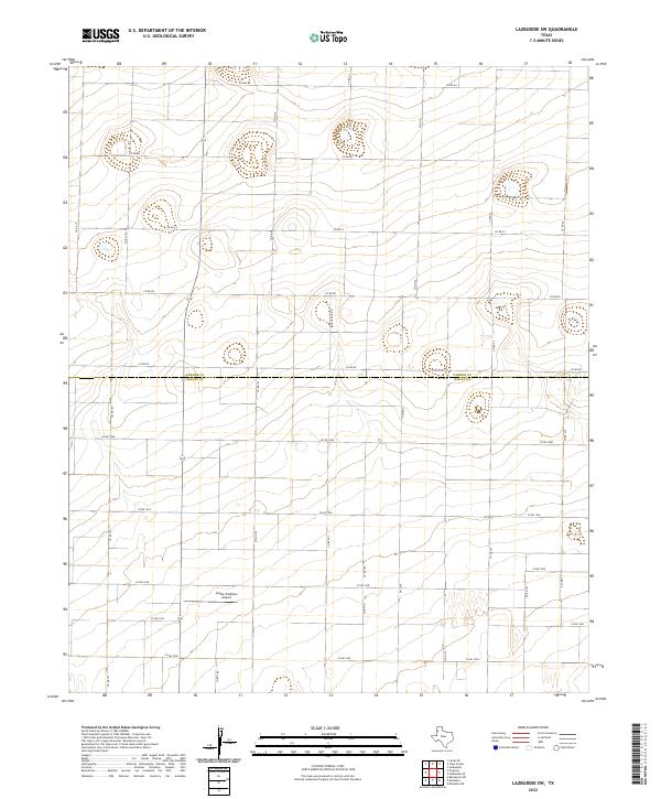
2022 Lazbuddie SW
Bailey County, TX
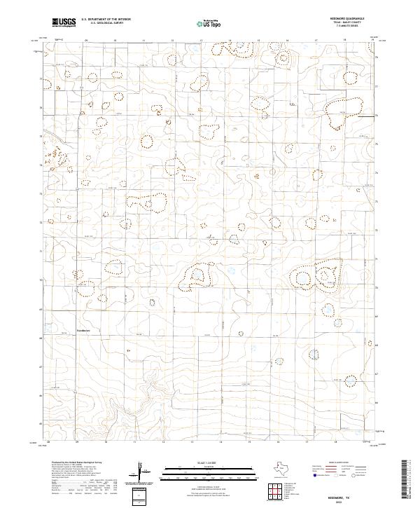
2022 Needmore
Bailey County, TX
2022 Progress
Bailey County, TX
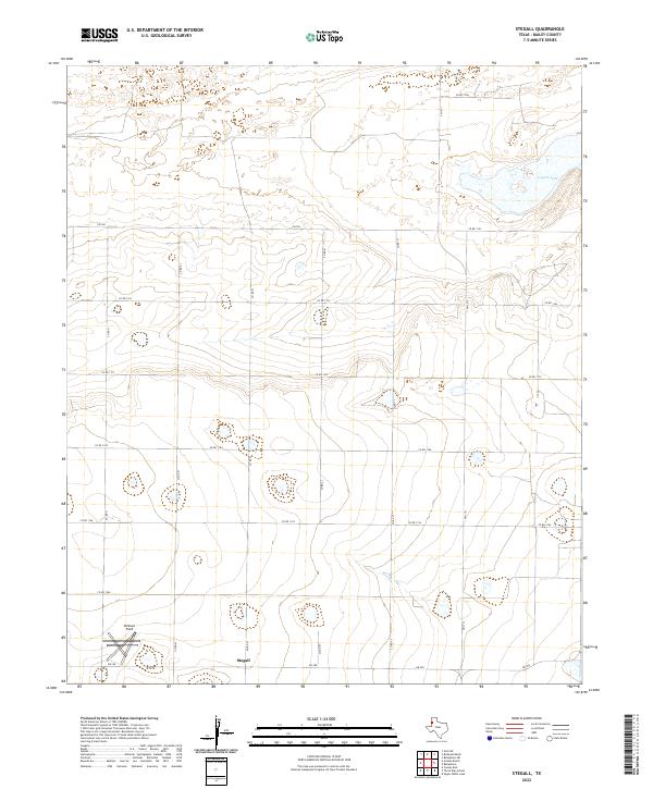
2022 Stegall
Bailey County, TX
2022 Three Way School
Bailey County, TX
2022 Upper White Lake
Bailey County, TX