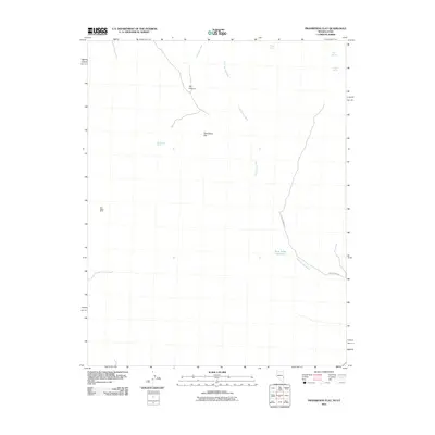
2011 Map of Prohibition Flat
USGS Topo · Published 2011About this map
Prohibition Flat characterizes this remote corner of the Nevada-Utah border, where the high desert landscape is defined by its scarce water sources and intermittent drainages. The area is a network of ephemeral washes, including Midnight Wash and the extensive Gold Springs Wash, which cuts across the terrain toward the Rose Valley Reservoir. Significant for local history and resource extraction, the Blue Ridge Mine sits in the western hills, connected by primitive routes to the primary thoroughfare, Gold Springs Rd.
Find a feature on this map
11 named features on this map. Tap any name to fly to it.
Don’t see what you’re looking for? This feature index may not catch every label — zoom into the map to look around manually.
Map Details
Editions of this 2011 Prohibition Flat Map
This is the sole edition of this map. No revisions or reprints were ever made.
Other maps of this area

1885 · St. George
USGS Topo · 1:250,000

1885 · Pioche
USGS Topo · 1:250,000

1886 · Pioche
USGS Topo · 1:250,000

1891 · St. George
USGS Topo · 1:250,000

1953 · Cedar City
USGS Topo · 1:250,000

1954 · Caliente
USGS Topo · 1:250,000

1958 · Cedar City
USGS Topo · 1:250,000

1959 · Caliente
USGS Topo · 1:250,000

1962 · Cedar City
USGS Topo · 1:250,000
1972 · Panaca Summit
USGS Topo · 1:24,000