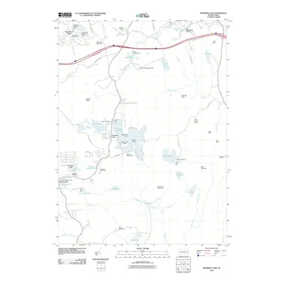
2010 Map of Promised Land
USGS Topo · Published 2010About this map
Promised Land Lake and the surrounding high-elevation plateaus of the Pocono Mountains define this landscape in eastern Pennsylvania. The area is characterized by a high density of managed water bodies and timber-related history, evidenced by the Lumber Company Dam and Gumble Brothers Dam. The map reveals a transition between residential pockets like Tanglewood Estate and Roemersville and the protected wilderness of the Bruce Lake Natural Area. Transportation corridors such as Ranch Rd and Old Greentown Rd connect these settlements across a terrain of distinct ridges, including Rock Oak Ridge and Big Dam Ridge. The presence of the High Knob Fire Tower on the eastern edge emphasizes the heavily forested nature of Pike County, while several small dams and inlets illustrate the complex local hydrology feeding into Shohola Creek.
Find a feature on this map
81 named features on this map. Tap any name to fly to it.
Don’t see what you’re looking for? This feature index may not catch every label — zoom into the map to look around manually.
Map Details
Editions of this 2010 Promised Land Map
This is the sole edition of this map. No revisions or reprints were ever made.
Other maps of this area

1919 · Pocono
USGS Topo · 1:62,500

1921 · Pocono
USGS Topo · 1:62,500

1923 · Pocono
USGS Topo · 1:62,500

1924 · Bushkill
USGS Topo · 1:48,000

1928 · Ariel
USGS Topo · 1:62,500

1932 · Ariel
USGS Topo · 1:62,500

1935 · Hawley
USGS Topo · 1:62,500

1938 · Hawley
USGS Topo · 1:62,500

1943 · Bushkill
USGS Topo · 1:62,500

1943 · Pocono
USGS Topo · 1:62,500
Featured Places
- Blooming Grove Township, PA
- Greene Township, PA
- Barrett Township, PA
- Palmyra Township, PA
- Promised Land, Greene Township