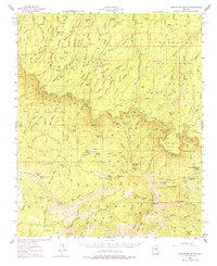
1952 Map of Promontory Butte
USGS Topo · Published 1974About this map
Coconino National Forest and Tonto National Forest converge at the Mogollon Rim, where this 1952 survey documents a landscape of high timber and remote homesteads. The map illustrates a network of pioneer-era cattle operations and recreational sites along the rim's edge, notably the Zane Grey Lodge and the State Fish Hatchery. Significant local history is preserved at the Battle of Big Dry Wash Historic Marker, denoting the site of a 1882 conflict. Family names are deeply etched into the geography, seen in sites like Fred Haught Ranch, Kohl Ranch, and Christopher Ranch. The infrastructure reflects a rugged pastoral economy where trails like the Highline Trail and numerous tanks and springs, such as Schoolhouse Tank, provided essential water in a high-elevation environment dominated by deep drainages like Leonard Canyon and Dane Canyon.
Find a feature on this map
144 named features on this map. Tap any name to fly to it.
Don’t see what you’re looking for? This feature index may not catch every label — zoom into the map to look around manually.
Map Details
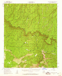
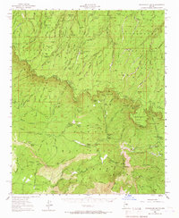
Editions of this 1952 Promontory Butte Map
4 editions found

Other maps of this area

1886 · Holbrook
USGS Topo · 1:250,000

1887 · Verde
USGS Topo · 1:250,000

1892 · Verde
USGS Topo · 1:250,000

1893 · Holbrook
USGS Topo · 1:250,000

1934 · Pine
USGS Topo · 1:62,500

1934 · Promontory Butte
USGS Topo · 1:62,500

1936 · Payson
USGS Topo · 1:48,000

1937 · Diamond Butte
USGS Topo · 1:48,000

1939 · Promontory Butte
USGS Topo · 1:62,500

1940 · Pine
USGS Topo · 1:62,500
Featured Places
- Star Valley, AZ
- Bonita Creek Estates, AZ
- Thompson Draw Summer Homes Unit #1, AZ
- Tonto Estate, AZ
- Hunter Creek, AZ