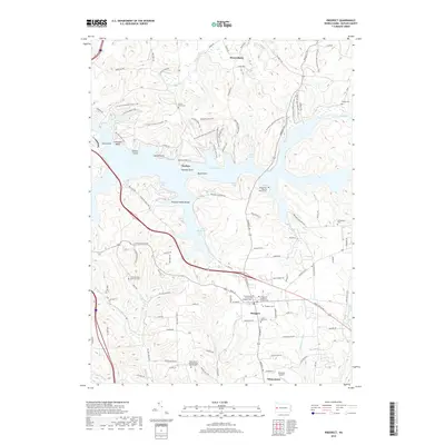
2019 Map of Prospect
USGS Topo · Published 2019About this map
Lake Arthur dominates the northern half of this landscape, its complex shoreline defined by points and coves like Beaver Cove, Crescent Bay, and Worth Point. Established as part of Moraine State Park, the reservoir is a centerpiece for recreation, featuring the Moraine Bike Trail and segments of the N Country National Scenic Trail. The surrounding topography is a mix of wooded ridges and active farmland, particularly around the settlements of West Liberty and Whitestown.
Find a feature on this map
111 named features on this map. Tap any name to fly to it.
Don’t see what you’re looking for? This feature index may not catch every label — zoom into the map to look around manually.
Map Details
Editions of this 2019 Prospect Map
This is the sole edition of this map. No revisions or reprints were ever made.
Other maps of this area

1908 · Zelienople
USGS Topo · 1:62,500

1909 · Butler
USGS Topo · 1:62,500

1910 · Zelienople
USGS Topo · 1:62,500

1910 · Hilliards
USGS Topo · 1:62,500

1911 · Butler
USGS Topo · 1:62,500

1912 · Hilliards
USGS Topo · 1:62,500

1913 · Mercer
USGS Topo · 1:62,500

1939 · Mercer
USGS Topo · 1:62,500

1943 · Mercer
USGS Topo · 1:62,500

1944 · Hilliards
USGS Topo · 1:62,500