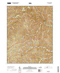
2019 Map of Prospect
USGS Topo · Published 2019About this map
Prospect serves as a central hub in this Virginia landscape, situated at the crossroads of local routes and railway history. The terrain is defined by a dense network of small waterways, most notably the Appomattox River which snakes along the northern boundary, forming the natural border between Buckingham and Prince Edward counties. Small communities like Hurtsville, Elam, and Allens Mill are interspersed throughout the countryside, connected by historic thoroughfares such as Co Rd 625 and Harris Creek Rd.
Find a feature on this map
86 named features on this map. Tap any name to fly to it.
Don’t see what you’re looking for? This feature index may not catch every label — zoom into the map to look around manually.
Map Details
Editions of this 2019 Prospect Map
This is the sole edition of this map. No revisions or reprints were ever made.
Other maps of this area

1891 · Farmville
USGS Topo · 1:125,000

1892 · Appomattox
USGS Topo · 1:125,000

1893 · Farmville
USGS Topo · 1:125,000

1947 · Roanoke
USGS Topo · 1:250,000

1956 · Charlotte Court House
USGS Topo · 1:62,500

1958 · Farmville
USGS Topo · 1:62,500

1958 · Keysville
USGS Topo · 1:62,500

1958 · Pamplin City
USGS Topo · 1:62,500

1959 · Roanoke
USGS Topo · 1:250,000

1963 · Roanoke
USGS Topo · 1:250,000