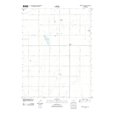
2010 Map of Prospect Valley
USGS Topo · Published 2010About this map
Prospect Valley and its surrounding agricultural plains are defined by an intricate network of irrigation infrastructure and rural settlements in eastern Colorado. The landscape is marked by the presence of significant water management features, including the Lowline Canal and the Henrylyn Canal, which feed into local catchments like Lord Reservoir and Olds Reservoir. These reservoirs, supported by the D A Lord Number 4 Dam and Olds Dam, sustain the local farming economy. Small clusters and individual localities like Krauss, Johnson, Sheehan, and Sloan are positioned along a strictly gridded road system. The area also supports regional aviation with specialized facilities such as the Horseshoe Landings Airport and the Air Dusters Incorporated Airport, reflecting the intersection of modern agricultural services and traditional land use in Weld County.
Find a feature on this map
37 named features on this map. Tap any name to fly to it.
Don’t see what you’re looking for? This feature index may not catch every label — zoom into the map to look around manually.
Map Details
Editions of this 2010 Prospect Valley Map
This is the sole edition of this map. No revisions or reprints were ever made.
Other maps of this area

1890 · East Denver
USGS Topo · 1:125,000

1902 · Greeley
USGS Topo · 1:125,000

1949 · Sunnydale
USGS Topo · 1:24,000

1950 · South Roggen
USGS Topo · 1:24,000

1950 · Tampa
USGS Topo · 1:24,000

1950 · Keenesburg
USGS Topo · 1:24,000

1950 · Prospect Valley
USGS Topo · 1:24,000

1950 · Klug Ranch
USGS Topo · 1:24,000

1951 · Keenesburg
USGS Topo · 1:24,000

1951 · Prospect Valley
USGS Topo · 1:24,000