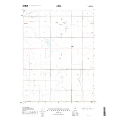
2019 Map of Prospect Valley
USGS Topo · Published 2019About this map
The agricultural landscape of eastern Weld County is defined by an intricate network of irrigation systems and small rural settlements. In this 2019 survey, the town of Keenesburg anchors the northwest corner, while the namesake Prospect Valley community sits centrally, surrounded by scattered holdings like Krauss, Johnson, and Sloan. The region's reliance on water management is evident through the path of the Henrylyn Canal, Lowline Canal, and the Prospect Lateral Sub Number 2 Ditch, which feed vital catchments such as Lord Reservoir and Olds Reservoir. This map illustrates the transition from traditional farming to specialized aviation, shown by the presence of The Farm Airport and Air Dusters Inc Airport, reflecting the modern infrastructure required for aerial crop applications. The terrain is marked by intermittent drainages including Lost Cr and Sand Creek, which navigate the grid-patterned county roads that organize this high plains territory.
Find a feature on this map
38 named features on this map. Tap any name to fly to it.
Don’t see what you’re looking for? This feature index may not catch every label — zoom into the map to look around manually.
Map Details
Editions of this 2019 Prospect Valley Map
This is the sole edition of this map. No revisions or reprints were ever made.
Other maps of this area

1890 · East Denver
USGS Topo · 1:125,000

1902 · Greeley
USGS Topo · 1:125,000

1949 · Sunnydale
USGS Topo · 1:24,000

1950 · South Roggen
USGS Topo · 1:24,000

1950 · Tampa
USGS Topo · 1:24,000

1950 · Keenesburg
USGS Topo · 1:24,000

1950 · Prospect Valley
USGS Topo · 1:24,000

1950 · Klug Ranch
USGS Topo · 1:24,000

1951 · Keenesburg
USGS Topo · 1:24,000

1951 · Prospect Valley
USGS Topo · 1:24,000