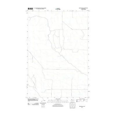
2011 Map of Prosser SW
USGS Topo · Published 2011About this map
Glade Creek meanders through this portion of Yakima County, carving a distinct path across a landscape defined by an orderly grid of rural transport routes. The drainage pattern of the creek stands in contrast to the rigid geometry of the local road network, which includes County Line Rd and Section 17 Rd. These thoroughfares, along with named local passages such as Poeckes Rd and Wandling Rd, reflect the methodical division of land for agricultural or ranching purposes. The naming conventions of routes like Old Ranch Rd and Dead Canyon Rd provide clues to the historical land use and topographical challenges encountered by early inhabitants in this part of Washington state.
Find a feature on this map
10 named features on this map. Tap any name to fly to it.
Don’t see what you’re looking for? This feature index may not catch every label — zoom into the map to look around manually.
Map Details
Editions of this 2011 Prosser SW Map
This is the sole edition of this map. No revisions or reprints were ever made.
Other maps of this area

1906 · Blalock Island
USGS Topo · 1:125,000

1908 · Blalock Island
USGS Topo · 1:125,000

1910 · Zillah
USGS Topo · 1:125,000

1915 · Prosser
USGS Topo · 1:125,000

1916 · Arlington
USGS Topo · 1:125,000

1917 · Prosser
USGS Topo · 1:125,000

1950 · Yakima
USGS Topo · 1:250,000

1953 · Pendleton
USGS Topo · 1:250,000

1953 · Walla Walla
USGS Topo · 1:250,000

1953 · The Dalles
USGS Topo · 1:250,000