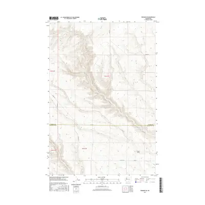
2017 Map of Prosser SW
USGS Topo · Published 2017About this map
The high desert plateau along the Yakima and Klickitat County line is defined by a deeply incised drainage system. Glade Cr carves a winding path through the center of the landscape, creating significant elevation changes across the open terrain. This 2017 survey reveals a sparse network of local roads such as Alderdale Rd and Poeckes Rd that navigate the high ridges and canyon floors. To the southeast, Coyote Canyon cuts through the topography, illustrating the erosional patterns characteristic of the region. The map provides a clear look at the intersection of rural infrastructure and natural hydrology, recording the exact placement of range lines and remote access routes like Smith Rd and Raschko Rd.
Find a feature on this map
12 named features on this map. Tap any name to fly to it.
Don’t see what you’re looking for? This feature index may not catch every label — zoom into the map to look around manually.
Map Details
Editions of this 2017 Prosser SW Map
This is the sole edition of this map. No revisions or reprints were ever made.
Other maps of this area

1906 · Blalock Island
USGS Topo · 1:125,000

1908 · Blalock Island
USGS Topo · 1:125,000

1910 · Zillah
USGS Topo · 1:125,000

1915 · Prosser
USGS Topo · 1:125,000

1916 · Arlington
USGS Topo · 1:125,000

1917 · Prosser
USGS Topo · 1:125,000

1950 · Yakima
USGS Topo · 1:250,000

1953 · Pendleton
USGS Topo · 1:250,000

1953 · Walla Walla
USGS Topo · 1:250,000

1953 · The Dalles
USGS Topo · 1:250,000