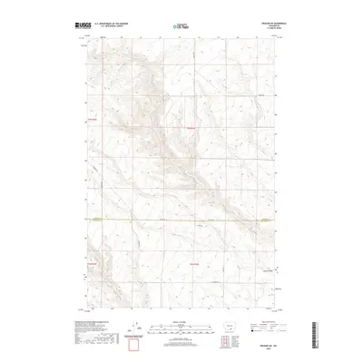
2020 Map of Prosser SW
USGS Topo · Published 2020About this map
The high desert plateau of southern Washington defines this landscape, where the seasonal drainage of Glade Cr carves through the terrain as it moves toward the Columbia River basin. This survey highlights the rural infrastructure of the early 21st century, centered on the boundary between Yakima and Klickitat counties. Land use in this arid region is marked by a sparse network of long thoroughfares like Alderdale Rd and Smith Rd, which follow the natural contours of the ridges and draws. In the southeastern portion of the quadrangle, the land descends into the distinct geological formation of Coyote Canyon. The map reveals the persistence of the Public Land Survey System, with township and range lines like t7n r23e dictating the placement of secondary routes such as Poeckes Rd and Raschko Rd.
Find a feature on this map
12 named features on this map. Tap any name to fly to it.
Don’t see what you’re looking for? This feature index may not catch every label — zoom into the map to look around manually.
Map Details
Editions of this 2020 Prosser SW Map
This is the sole edition of this map. No revisions or reprints were ever made.
Other maps of this area

1906 · Blalock Island
USGS Topo · 1:125,000

1908 · Blalock Island
USGS Topo · 1:125,000

1910 · Zillah
USGS Topo · 1:125,000

1915 · Prosser
USGS Topo · 1:125,000

1916 · Arlington
USGS Topo · 1:125,000

1917 · Prosser
USGS Topo · 1:125,000

1950 · Yakima
USGS Topo · 1:250,000

1953 · Pendleton
USGS Topo · 1:250,000

1953 · Walla Walla
USGS Topo · 1:250,000

1953 · The Dalles
USGS Topo · 1:250,000